
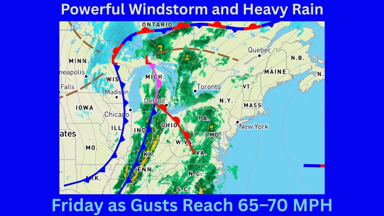
Massachusetts and Rhode Island Brace for Powerful Windstorm and Heavy Rain Friday as Gusts Reach 65–70 MPH and Power Outages Become Likely
MASSACHUSETTS — A high-impact wind and rain event is expected to sweep across southern New England on Friday, with Massachusetts and Rhode Island facing the greatest risk for damaging wind gusts, heavy rainfall, and scattered power outages, according to the latest forecast data and warning maps.
Meteorologists indicate that atmospheric conditions are aligning for a higher-end wind event, driven by an intense low-level jet, falling surface pressure, and unseasonably mild temperatures that will allow powerful winds aloft to mix down to the surface.
High Wind Warnings Expanded Across Coastal Massachusetts, Southern Rhode Island, and Western Massachusetts
Forecast maps show High Wind Warnings in effect for:
- All coastal Massachusetts
- Southern Rhode Island
- The hills of western Massachusetts
In these areas, wind gusts of 50 to 65 mph are expected, with localized gusts near 70 mph possible along the outer Cape Cod bluffs.
Elsewhere across New England, Wind Advisories remain in effect, with gusts generally ranging from 40 to 55 mph, particularly across inland Massachusetts and surrounding states.
Why This Wind Event Is Expected to Be Strong
Several key atmospheric factors are contributing to the severity of this system:
- A low-level jet approaching 100 knots just a few thousand feet above the surface
- Surface pressure falling to around 990 millibars
- Temperatures climbing near 60 degrees by late morning, increasing downward wind transfer
Forecasters note that the combination of strong pressure falls and warmer surface temperatures significantly increases the chance of damaging winds reaching ground level. Residents may hear the wind intensify well before the strongest gusts arrive.
Heavy Rainfall Expected, with Highest Totals in Western Areas
Rainfall projections indicate widespread totals of 1 to 2 inches, with:
- Heavier rainfall west
- Slightly lower totals east
The heaviest rain and strongest wind gusts are expected between roughly 6 a.m. and 3 p.m., moving from west to east across the region.
Wind Shift and Late-Day Weather Changes
Winds will remain:
- Southerly during the morning and early afternoon
- Turning westerly behind a passing cold front later Friday
After the front passes, scattered rain showers may briefly change to snow showers, with a few ice pellets possible before precipitation tapers off. Overnight temperatures are expected to fall into the 20s, while gusty westerly winds redevelop Friday evening.
Power Outages and Safety Concerns
With saturated ground and strong winds, scattered power outages are likely, especially across coastal and elevated areas of Massachusetts and Rhode Island.
Residents are urged to:
- Charge electronic devices in advance
- Secure loose outdoor items
- Use caution while traveling, particularly on bridges and exposed roads
- Follow guidance from local emergency officials
What to Expect Overall
This system represents a multi-hazard weather event for southern New England, with damaging winds, heavy rain, and brief wintry conditions all possible within a short period. Massachusetts and Rhode Island remain the most impacted states, but effects will be felt across much of the region.
Staying prepared and weather-aware will be critical as conditions change rapidly throughout the day.