
Greater Lake Tahoe, California and Nevada Under High Avalanche Watch as Rain-on-Snow Event Raises Risk of Large, Dangerous Slides
LAKE TAHOE, CALIFORNIA/NEVADA — Backcountry users in the Greater Lake Tahoe area are being urged to avoid avalanche terrain as a Backcountry Avalanche Watch remains in effect amid a high-danger setup driven by rain falling on existing snowpack at higher elevations.
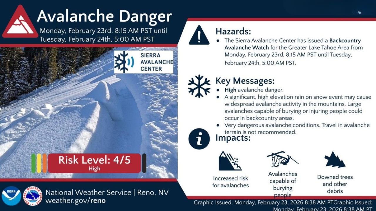
The Sierra Avalanche Center, in coordination with the National Weather Service in Reno, Nevada, has issued the watch from Monday, February 23 at 8:15 AM PST through Tuesday, February 24 at 5:00 AM PST, citing a significant rain-on-snow event that could trigger widespread avalanche activity.
Officials are warning that large avalanches capable of burying or injuring people could occur in backcountry terrain.
Risk Level 4 Out of 5: High Avalanche Danger
The avalanche risk has been classified as 4 out of 5 — High, meaning natural avalanches are likely and human-triggered avalanches are very likely.
Under High danger conditions:
- Travel in avalanche terrain is not recommended
- Large, destructive avalanches can occur
- Slopes can fail naturally without warning
This level signals one of the more serious avalanche setups typically issued during the winter season.
Rain on Snow: A Dangerous Combination
Forecasters point to a high-elevation rain-on-snow event as the primary concern.
When rain falls on an existing snowpack, especially a deep or layered one, it can:
- Add significant weight to the snowpack
- Reduce bonding between snow layers
- Create instability on steep slopes
- Trigger widespread natural avalanche activity
The combination of liquid precipitation and warming temperatures often destabilizes slopes quickly, especially in mountainous terrain surrounding Lake Tahoe, California and Nevada.
Potential Impacts in the Sierra Nevada
The watch specifically covers backcountry terrain in the Greater Lake Tahoe region, which includes:
- Sierra Nevada backcountry areas in California
- Mountain zones in western Nevada
Impacts could include:
- Increased risk for avalanches
- Avalanches capable of burying people
- Downed trees and debris carried by slides
- Dangerous travel conditions in mountain terrain
Avalanches triggered during rain-on-snow events can be larger and heavier than typical dry snow slides, increasing their destructive potential.
Travel Not Recommended in Avalanche Terrain
Officials are strongly advising:
- Avoid travel on or beneath steep slopes
- Postpone backcountry recreation
- Monitor updated advisories from the Sierra Avalanche Center
Even experienced backcountry travelers face elevated risks during High danger periods, especially when natural avalanche activity is possible.
Timing and Duration
The Avalanche Watch remains active from:
- 8:15 AM PST Monday, February 23
- Through 5:00 AM PST Tuesday, February 24
Conditions may evolve rapidly depending on precipitation intensity and temperature trends.
Serious Situation for Backcountry Users
High avalanche danger is not routine and indicates a substantial threat across mountain zones surrounding Lake Tahoe.
Skiers, snowboarders, snowmobilers, and backcountry hikers in California and Nevada’s Sierra Nevada region should take this watch seriously and avoid avalanche-prone terrain until conditions improve.
WaldronNews.com will continue monitoring updates from the Sierra Avalanche Center and National Weather Service Reno regarding changing mountain hazards in the Lake Tahoe area.