
U.S. Weather Alert Issued for Late April as Powerful MJO Signal Hints at New Storm Pattern After Current Severe Stretch
UNITED STATES — Even as the upcoming round of severe weather prepares to impact large parts of the country, new long-range signals are already raising concern for another active weather phase developing later in April and possibly into early May.
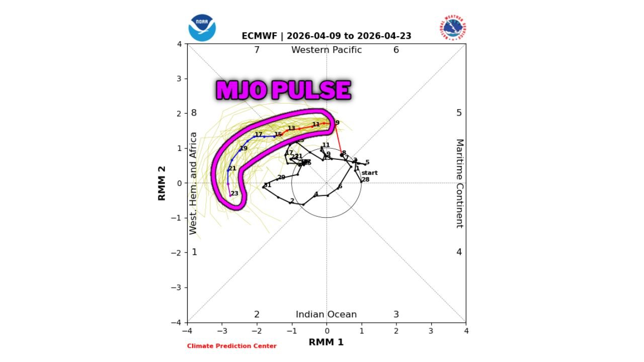
A strong atmospheric signal, known as the Madden-Julian Oscillation (MJO), is now showing signs of intensifying — and that could mean another period of unsettled, storm-favorable conditions across the United States once the current system exits.
Strong MJO Pulse Signals More Unsettled Weather Ahead
Forecast models are now consistently showing a well-defined MJO pulse strengthening and moving through key phases, which is often associated with:
- Increased storm development potential
- Enhanced jet stream activity
- Greater chances for repeated weather systems
This is not a short-term forecast tool, but it is one of the more reliable large-scale pattern indicators, and right now, it is pointing toward a more active late-April setup across the U.S.
What This Means After the Current Severe Weather Ends
Once the ongoing severe weather pattern (impacting mid-April) begins to wind down, the atmosphere may quickly reload instead of calming down.
That could lead to:
- Additional storm systems developing across the Plains and Midwest
- Continued chances for severe thunderstorms
- Periods of heavy rain and shifting weather patterns
Instead of a quiet break, the pattern suggests the potential for back-to-back active phases.
Plains and Midwest Likely to Stay in Focus
Based on current signals, areas that could remain vulnerable include:
- Texas
- Oklahoma
- Kansas
- Missouri
- Iowa and parts of the Midwest
These regions are already entering peak severe weather season, and a favorable large-scale pattern like this could extend and intensify that risk window.
Why the MJO Matters in This Setup
The MJO influences how energy moves through the atmosphere globally. When it becomes strong and organized:
- It can enhance storm tracks across North America
- Support frequent trough formations over the western U.S.
- Allow warm, moist air to repeatedly surge northward
That combination is exactly what fuels severe weather outbreaks in spring.
Still Early — But a Signal Worth Watching Closely
It’s important to note:
- This is not a day-by-day forecast yet
- Exact storm timing and locations are still uncertain
- Confidence is currently moderate, not definitive
However, the consistency across multiple models makes this a high-interest signal heading into late April.
What You Should Do Now
With one active pattern already unfolding and another potentially behind it:
- Stay updated on both short-term and long-range forecasts
- Begin thinking about extended preparedness, not just single-day events
- Pay attention to updates as forecast confidence increases later this month
Bottom Line
The current severe weather stretch may not be the end of the story.
With a strong MJO signal emerging, the atmosphere could remain primed for another round of active and potentially severe weather across the U.S. as April progresses into May.
Stay alert — the pattern ahead may bring more than just a brief break before the next wave begins.