
Maryland, Virginia, and Pennsylvania Face Strong Wind Gusts Up to 50 MPH as Secondary Cold Front Sweeps Through Friday
MARYLAND — A secondary cold front is expected to move through parts of Maryland, Virginia, Pennsylvania, and the surrounding Mid-Atlantic region Friday afternoon, bringing strong wind gusts between 40 and 50 mph as colder air rapidly overspreads the area behind the front.
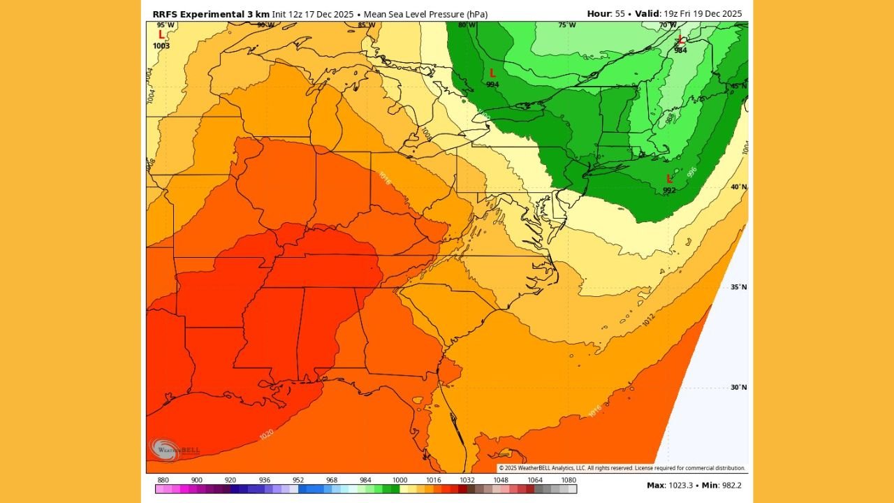
Forecast guidance shows strong cold air advection (CAA) overlapping a deeply mixed boundary layer, a setup that favors efficient transfer of stronger winds from aloft down to the surface. As a result, wind advisories are likely to be needed across much of the region once the front clears.
Strong Winds Expected Behind the Front Friday Afternoon
Model data indicates the strongest wind potential will occur after the frontal passage, rather than during the rain itself. Gusts in the 40–50 mph range are possible across much of central and northern Virginia, Maryland, southern Pennsylvania, and nearby areas, particularly during the afternoon and early evening hours.
These winds will be driven by:
- Rapid temperature drops behind the front
- Strong pressure rises
- A well-mixed atmosphere allowing higher-momentum air to reach the surface
While this event is not expected to produce severe thunderstorms, the wind impacts alone may be significant enough to cause scattered issues.
Saturated Ground Raises Risk of Downed Trees
Another concern highlighted by the forecast is soil saturation ahead of the cold front. Snowmelt combined with heavy rain earlier in the system will leave ground conditions soft, increasing the likelihood of trees being uprooted or blown over when stronger gusts arrive.
This raises the risk of:
- Downed trees
- Isolated power outages
- Blocked roadways, especially in wooded and elevated areas
Even wind gusts below severe criteria can cause damage when soils are overly wet.
Temperature Drop Follows the Wind Surge
Temperature change maps show a sharp drop in temperatures behind the front, with many areas seeing rapid cooling Friday afternoon and evening. This reinforces the strong wind setup, as colder, denser air rushing in helps accelerate surface gusts.
Despite the colder air, no widespread snow is expected with this portion of the system, as most precipitation will have already moved out before the coldest air arrives.
What Residents Should Expect
Residents across the Mid-Atlantic should prepare for:
- Strong, gusty winds Friday afternoon
- Possible wind advisories
- Isolated power outages
- Falling branches or trees due to saturated soils
- Much colder conditions by Friday evening
Officials advise securing loose outdoor items and using caution while traveling during peak wind hours.
WaldronNews.com will continue monitoring updates as the cold front approaches and will provide additional coverage if advisories or warnings are issued.
Stay with WaldronNews.com for continued weather updates and regional impact reports.