
Massachusetts, Vermont, and New York Brace for Below-Zero Wind Chills Overnight as Snow Returns Tuesday Morning
UNITED STATES — A sharp burst of winter cold is settling across western and central Massachusetts, southern Vermont, and eastern New York late Sunday night, with dangerously low wind chills expected in higher terrain before a fresh round of snowfall develops Tuesday morning. Forecast data and high-resolution guidance show a cold, windy night giving way to a brief lull Monday, then a steady period of snow that could impact travel into early Tuesday afternoon.
“This is one of those nights where the cold matters more than the snow — wind chills drop fast once winds ease and skies clear.”
Below-Zero Wind Chills Overnight in Higher Terrain
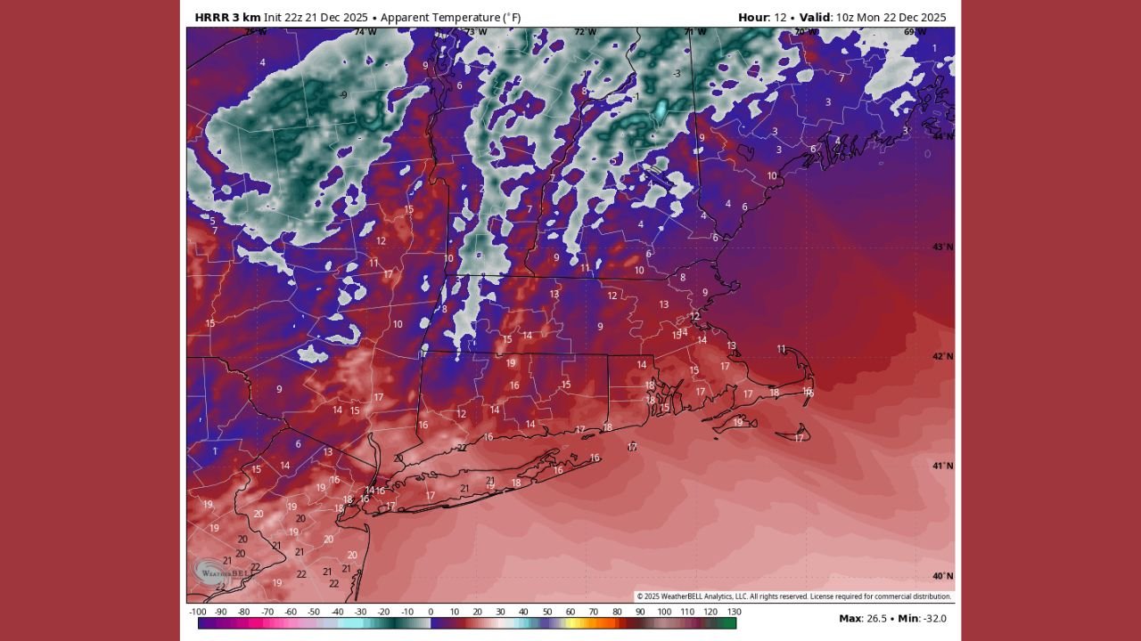
As winds gradually diminish late Sunday night, temperatures are forecast to drop into the mid to upper teens, with some sheltered valleys dipping even lower. Gusts of 20–35 mph earlier in the evening will combine with falling temperatures to produce single-digit wind chills, with sub-zero readings likely across high elevations of the Berkshires, the western hilltowns, and southern Vermont.
These conditions increase the risk of frostbite with prolonged exposure, particularly overnight and early Monday morning.
Monday: Cold Start, Bright Finish Before Clouds Increase
By Monday, winds ease and sunshine returns, though it will remain seasonably cold. Afternoon highs are expected to reach:
- Upper 20s to mid-30s across much of western Massachusetts
- Low to mid-30s in eastern New York valleys
- 20s across higher elevations of southern Vermont
Clouds increase Monday night as the next system approaches, with overnight lows settling into the low to mid-20s.
Snow Arrives Tuesday Morning, Steadiest Late Morning to Early Afternoon
Light snow showers may begin before dawn Tuesday, but forecast guidance indicates the steadiest snowfall develops after 8 a.m., continuing into early afternoon before tapering later in the day.
“This looks like a classic light-to-moderate snowfall window — enough to coat roads and slow travel, especially during the morning and midday hours.”
Expected Snow Totals by Region
Current projections point to a widespread 1–3 inches of snow, with locally higher amounts favored in terrain-enhanced areas:
- 2–5 inches possible in:
- Central and northern Berkshires (MA)
- Western hilltowns of Massachusetts, especially north of the Massachusetts Turnpike
- Parts of southern Vermont
- 1–3 inches likely across:
- Eastern New York valleys
- Lower elevations of western and central Massachusetts
Amounts may vary based on snowfall intensity and surface temperatures, but most areas should see measurable accumulation.
Travel and Safety Considerations
The combination of early cold, fresh snowfall, and timing during the morning commute could create slick roads and reduced visibility Tuesday, particularly in elevated and rural areas.
Residents are urged to:
- Limit overnight exposure during the coldest hours
- Dress in layers and cover exposed skin
- Allow extra travel time Tuesday morning
- Check local road conditions before heading out
Bottom Line
A bitterly cold night with sub-zero wind chills in higher terrain will give way to a briefly calmer Monday, followed by accumulating snow Tuesday morning across Massachusetts, Vermont, and New York. While not a major storm, the timing and cold conditions make this a meaningful winter weather event for the region.
Stay warm, drive carefully, and follow ongoing winter weather coverage at WaldronNews.com — and let us know how conditions look where you are.