
Michigan and Wisconsin Brace for 2 to 4 Feet of Snow as Updated NOAA Models Signal 30–44 Inch Totals Across the Great Lakes in Rare Mid-March Blizzard Setup
GREAT LAKES — Updated weather model guidance is painting an extraordinary snowfall scenario for Michigan and Wisconsin over the next seven days, with widespread totals of 2 to 4 feet now appearing increasingly possible in what could become one of the most significant mid-March snow events in recent memory.
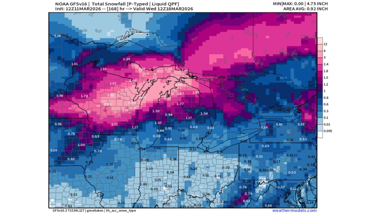
New projections from NOAA’s Blend of Models and GFS guidance show intense snowfall accumulation across large portions of the Upper Midwest, particularly around Lake Superior, northern Wisconsin, and much of Michigan.
Model Data Shows Widespread 30+ Inch Totals
According to the latest NOAA Blend snowfall projection through March 18:
- Northern Wisconsin: 25 to 35 inches common
- Upper Peninsula of Michigan: 30 to 41 inches
- Northern Lower Michigan: 24 to 30 inches
- Portions near Lake Superior: Isolated totals approaching 44 inches
The map indicates a maximum projection of 44.4 inches, highlighting the potential for localized snowfall exceeding 3.5 feet.
Even southern Wisconsin and parts of central Michigan are forecast to receive 15 to 25 inches, with totals gradually tapering farther south toward Illinois, Indiana, and Ohio.
GFS Guidance Reinforces Heavy Snow Signal
The NOAA GFS snowfall model similarly depicts a concentrated band of heavy snow stretching from central Wisconsin through the Upper Peninsula and into northern Lower Michigan.
Liquid-equivalent precipitation values exceeding 2 to 3 inches in snow-producing zones suggest the potential for prolonged, moisture-rich storm systems impacting the region over multiple rounds.
The most intense shading focuses along:
- Central and northern Wisconsin
- The Upper Peninsula of Michigan
- Northern Lower Michigan near Lake Michigan and Lake Huron
Meanwhile, areas farther south — including Illinois, Indiana, and Ohio — appear to remain largely on the lighter fringe of the storm system.
Why This Is Unusual for Mid-March
While snow in March is common in the Great Lakes, widespread projections of 2 to 4 feet across a large area are far less typical this late in the season.
By mid-March:
- Daylight hours are increasing
- Sun angle is stronger
- Seasonal averages trend toward gradual warming
For model guidance to indicate multi-foot accumulations over a 7-day window suggests a highly amplified storm pattern capable of sustained cold air delivery and repeated moisture influx.
Potential Impacts Across Michigan and Wisconsin
If these projections verify, impacts could include:
- Major travel disruptions
- Prolonged periods of blowing and drifting snow
- Heavy load stress on roofs and infrastructure
- Significant lake-enhanced snowfall in traditional snow belts
Communities across northern Wisconsin and much of Michigan may need to prepare for back-to-back storm systems rather than a single quick-hitting event.
Monitoring Model Trends Closely
While snowfall forecasts seven days out can shift, the consistency between multiple model runs increases confidence that a significant winter event is possible.
Residents across Michigan and Wisconsin should monitor updated forecasts and official advisories as the pattern evolves.
Stay with WaldronNews.com for continued coverage of this developing Great Lakes snow event and any official watches or warnings that may follow.