
Michigan Faces Potential Bomb Cyclone as Blizzard Conditions, Heavy Snow, and 50+ MPH Winds Threaten Travel Sunday–Monday
MICHIGAN — A powerful and potentially dangerous winter storm system is being closely monitored for Sunday into Monday as forecast models indicate a possible bomb cyclone developing near the Great Lakes, raising the risk of blizzard conditions, heavy snow, and damaging wind gusts exceeding 50 mph across Michigan.
Meteorologists warn that while the exact track of the storm is still being refined, confidence is increasing that this will be a high-impact system capable of causing major travel disruptions statewide, especially throughout Monday.
What Is Driving the Threat in Michigan
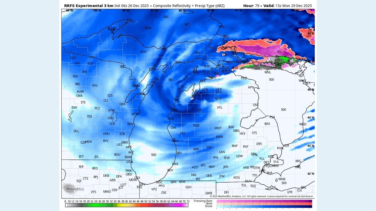
Forecast guidance shows a rapidly intensifying low-pressure system developing as it moves toward the Great Lakes — a process known as bombogenesis, where pressure drops sharply in a short period of time.
According to forecast signals highlighted by the National Weather Service, this type of system can dramatically enhance snowfall rates, wind strength, and visibility reductions, particularly near and downwind of the Great Lakes.
Model data suggests:
- Widespread snow developing across Lower and Upper Michigan
- Strong deformation bands capable of producing heavy snowfall
- Intensifying pressure gradients fueling 50–60 mph wind gusts
Blizzard Conditions Possible Across Large Portions of Michigan
If current trends hold, parts of Michigan could experience blizzard or near-blizzard conditions, especially in open and lakeshore areas.
Potential impacts include:
- Whiteout visibility in heavy snow and blowing snow
- Rapid snow accumulation on roadways
- Drifting snow blocking secondary roads
- Difficult or impossible travel conditions
Lakeshore regions and areas aligned with the storm’s strongest wind fields could see the worst visibility issues, even where snowfall totals are moderate.
Wind Gusts Could Exceed 50 MPH
Wind forecast maps show a broad swath of 50+ mph gusts wrapping around the storm system as it deepens. These winds could lead to:
- Power outages from downed trees and power lines
- Dangerous driving conditions for high-profile vehicles
- Structural strain on infrastructure during prolonged gusts
The combination of snow and wind significantly increases the threat level compared to a typical winter storm.
Snow Coverage Appears Widespread, Totals Still Uncertain
Snow is expected to be widespread across Michigan, though exact totals remain uncertain due to the storm’s evolving track.
Key concerns being monitored include:
- Placement of the heaviest snow bands
- Duration of intense snowfall rates
- Lake-enhancement effects increasing localized totals
Even modest shifts in the storm path could dramatically change snowfall amounts for individual communities.
Timing and Travel Impacts
- Storm develops: Sunday
- Peak impacts: Late Sunday night through Monday
- Major travel disruptions: Likely throughout Monday
Forecasters caution that Monday travel may be severely impacted statewide, including major highways and interstates.
What Residents Should Do Now
Officials urge Michigan residents to begin preparing early:
- Monitor forecast updates closely through the weekend
- Avoid unnecessary travel during peak storm conditions
- Prepare emergency kits in vehicles and homes
- Plan for potential power outages
This storm has the potential to become one of the most impactful winter systems of the season if current projections verify.
What Happens Next
Forecast confidence will continue to increase over the next 24–48 hours as meteorologists fine-tune the storm track and intensity. Winter storm watches or blizzard-related alerts may be issued if confidence continues to rise.
Stay with WaldronNews.com for continuous updates on this developing Michigan bomb cyclone threat, including refined snowfall forecasts, wind impacts, and official warnings as they become available.