
Oklahoma, Arkansas, North Texas, Missouri and the Lower Mississippi Valley Brace for Major Winter Storm With Heavy Snow, Significant Ice and Dangerous Travel From Friday Through Monday
UNITED STATES — A high-impact winter storm is now less than 36 hours away, and confidence is increasing that a dangerous combination of heavy snow, significant ice accumulation, and prolonged travel disruptions will impact a large portion of the south-central United States from Friday into early next week.
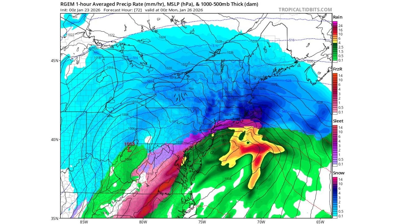
Multiple weather models and official updates show Oklahoma already upgraded to a Winter Storm Warning, with the threat expanding east and southeast into Arkansas, North Texas, Missouri, Tennessee, Mississippi, Alabama, Georgia, and the Carolinas as the system strengthens and slows.
Oklahoma Under Winter Storm Warning as Snow Totals Continue to Trend Higher
Oklahoma is now the core impact zone of this storm.
The latest guidance shows:
- Widespread 8–12 inches of snow
- Localized totals potentially exceeding 12 inches
- Heaviest accumulations centered near and north of Oklahoma City, extending toward Tulsa and northern Arkansas
While official forecasts remain closer to 6 inches, the consistency of higher snow totals in recent model runs means the risk of a much more disruptive outcome cannot be ignored this close to onset.
Arkansas Faces the Most Dangerous Combination of Snow and Ice
For Arkansas, this storm is shaping up to be especially severe.
Forecast data shows:
- Heavy snow across northern Arkansas
- Moderate to significant icing across central and southern sections
- Rapid deterioration of road conditions once precipitation begins Friday
Arrival timing indicates:
- Western Arkansas: before 3 PM Friday
- Central Arkansas (including Little Rock): 3–7 PM Friday
- Eastern Arkansas: after 7 PM Friday
Once frozen precipitation starts, conditions will worsen quickly, with travel becoming hazardous within hours.
North Texas and the DFW Metroplex Caught in a Snow–Ice Overlap Zone
North Texas, including the DFW Metroplex, sits directly in a transition zone where snow and freezing rain overlap.
Current expectations include:
- 2–4 inches of snow
- Moderate icing on top of snowfall
- Elevated risk for power outages, slick roads, and flight disruptions
Even modest snow totals combined with ice could create high-impact conditions across the region.
Ice Storm Threat Extends East Along and North of I-20
As the storm pushes east, ice becomes the dominant hazard.
The highest confidence for moderate winter impacts is now:
- Along and north of I-20
- Across Mississippi, Alabama, Georgia, South Carolina, and portions of North Carolina
Here, snow potential decreases, but sleet and freezing rain increase, raising concerns for:
- Downed trees and power lines
- Long-lasting road closures
- Dangerous travel conditions continuing into Sunday
Storm Timeline: Why Impacts Will Last Several Days
This is not a fast-moving system.
- Friday: Snow and ice develop from west to east
- Saturday: Widespread hazardous conditions, especially icing
- Sunday night: Models show an intense surge of precipitation, with some areas seeing their worst conditions late Sunday
- Monday: Slow improvement, but lingering impacts likely
Because cold air remains locked in place, accumulated ice and snow will not melt quickly, extending disruptions.
What Makes This Storm Especially Concerning
Several factors elevate the risk:
- Prolonged duration
- Snow and ice overlapping in populated areas
- Late-weekend peak impacts
- High confidence in at least moderate impacts across multiple states
Even small forecast changes could significantly increase severity in some locations.
Bottom Line
A major winter storm is imminent across the south-central and southeastern United States.
From heavy snow in Oklahoma to dangerous icing in Arkansas and eastward, this system has the potential to cause widespread travel disruptions, power outages, and hazardous conditions from Friday through Monday.
Residents across the impacted states should finalize preparations now, avoid unnecessary travel once precipitation begins, and be ready for rapidly worsening conditions as this storm unfolds.
Stay with Waldron for continued updates as newer accumulation forecasts and official warnings are issued.