
Pacific Northwest Ridge Triggers Extended Fog, Temperature Inversion, and Low Visibility Across Washington and Oregon
WASHINGTON — A strong ridge of high pressure is building over the Pacific Northwest this week, setting up a prolonged period of temperature inversions, widespread fog, and persistently low visibility across western Washington and western Oregon, according to multiple ECMWF model datasets analyzed through mid-January.
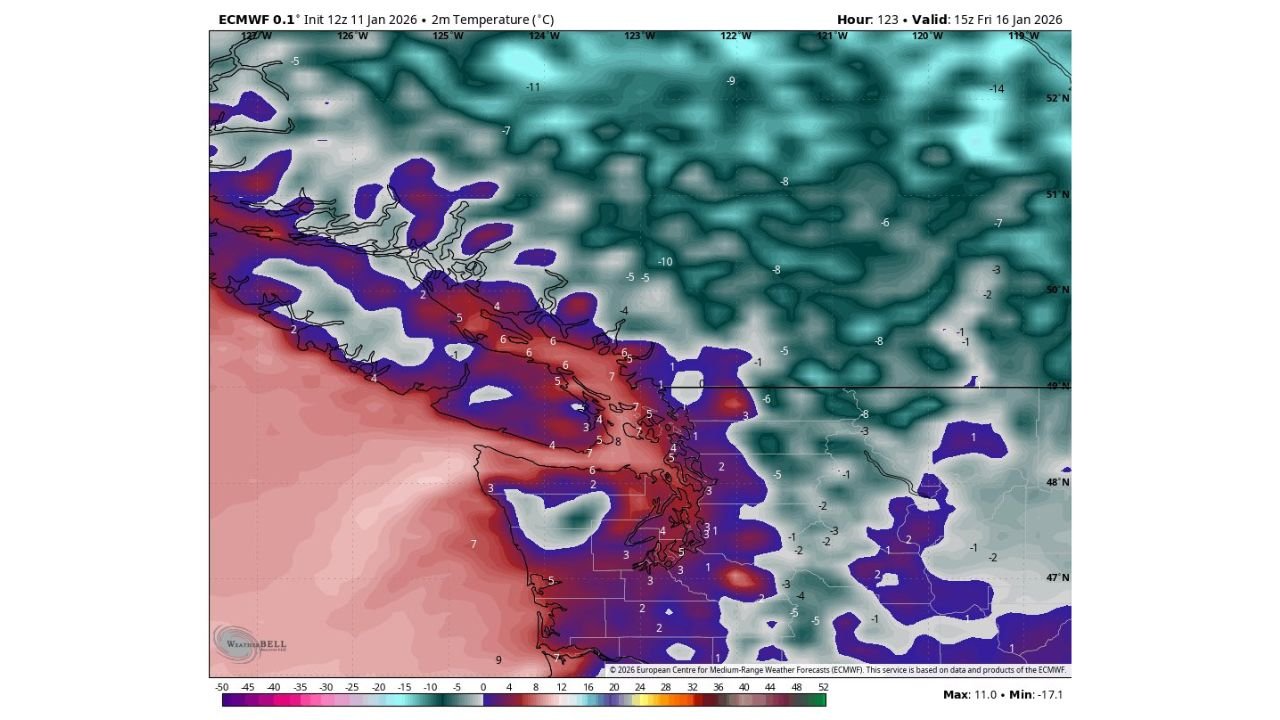
Forecast guidance shows the ridge strengthening aloft, allowing very warm air to surge above the surface, while colder, denser air remains trapped at ground level — a classic inversion pattern that favors fog formation and poor air mixing.
Warm Air Aloft Creating a Strong Temperature Inversion
Model data at the 850-millibar level (roughly 5,000 feet above sea level) indicates unusually warm air spreading inland from the Pacific, particularly across coastal and lowland areas of Washington and Oregon. While this warmth will promote snowmelt at higher elevations, surface temperatures are expected to remain significantly cooler in valleys and low-lying regions.
This vertical temperature contrast confirms the development of a temperature inversion, where warmer air sits above colder surface air, preventing normal atmospheric mixing.
Dense Fog Likely to Persist in Low-Lying Areas
As cooler air becomes trapped near the surface, moisture builds in the lowest levels of the atmosphere, allowing fog to form and linger — especially overnight and during morning hours. Visibility guidance maps show widespread reductions, with some locations dropping below one mile at times.
Fog is expected to be most persistent across:
- Coastal valleys
- Puget Sound lowlands
- Willamette Valley
- Other sheltered inland basins
Because the inversion limits daytime heating, fog burn-off may be minimal, even during afternoon hours.
Low Visibility and Cool Surface Temperatures Through the Week
Visibility forecasts extending 7 to 10 days suggest fog will remain a recurring issue until the ridge weakens or shifts east. While temperatures aloft stay mild, surface temperatures will remain cool, reinforcing fog development and limiting solar warming.
Once the high-pressure system eventually breaks down, models indicate a transition toward cooler sea-level temperatures, with lingering low visibility possible even after fog coverage begins to thin.
Travel and Daily Impacts
Residents should be prepared for:
- Reduced visibility during morning and evening commutes
- Slower travel conditions in fog-prone corridors
- Limited temperature recovery during daytime hours
- Air quality concerns in stagnant lowland areas
Drivers are urged to use low-beam headlights in fog and allow extra stopping distance during periods of reduced visibility.
What Comes Next
Meteorologists will continue monitoring how long the ridge remains anchored over the region and whether incoming Pacific systems can disrupt the inversion pattern. Until then, fog and low visibility remain the primary hazards, not winter precipitation or storms.
More updates will be issued as forecast confidence improves later this week.
Have you noticed dense fog or unusually cool daytime temperatures in your area? Share your local conditions and stay informed with continued coverage at WaldronNews.com.