
Saturday Snow Forecast Turns Tricky for New York, Connecticut, Rhode Island and Massachusetts as Inverted Trough Band Decides Who Gets the Higher Totals
UNITED STATES — A tricky snow setup is unfolding for Saturday across New York, Connecticut, Rhode Island, and Massachusetts, and the forecast hinges on one detail that’s notoriously difficult to pin down: where an inverted trough sets up. Most communities appear headed for a 1–3 inch snowfall, but a localized heavier band could form and quickly boost totals in a narrow corridor—meaning two towns not far apart may end up with very different outcomes.
Bold takeaway: This is a “band placement” forecast, not a uniform snow map.
Most locations still look like a 1–3 inch event
The overall signal continues to support a modest snow for much of the region. That includes many inland and coastal communities where snow comes in, adds a quick coating to a few inches, and then tapers without turning into a major storm.
Even in a lighter event, timing can still matter—especially if the steadiest period overlaps with daytime travel or evening plans.
Why an inverted trough changes the forecast
An inverted trough can act like a narrow “snow maker,” focusing lift and moisture into a tighter band. When it develops, it often creates:
- A stripe of steadier, heavier snow
- A quick jump from 1–3 inches to locally higher totals
- Sharp cutoffs where totals drop off fast just outside the band
That’s why this forecast is being labeled “tricky”—because the higher totals aren’t expected everywhere, but they could be meaningful where the band locks in.
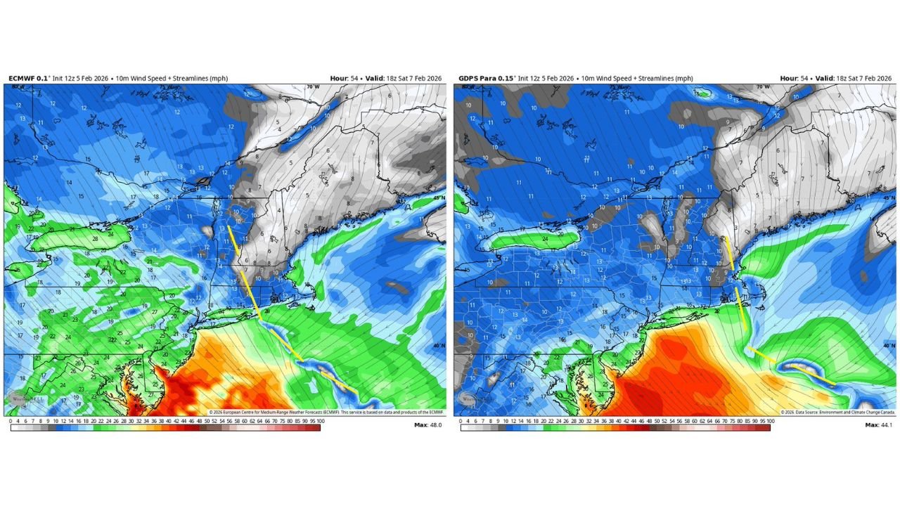
Models don’t agree: Euro farther west, others farther east
The guidance is split on where the best banding sets up.
- The European model (Euro/ECMWF) is depicted as farther west
- Some other guidance solutions lean farther east
That west-versus-east difference is the entire forecast story. A shift of a relatively small distance can decide whether the band favors:
- Portions of eastern New York / western New England, or
- More of eastern Massachusetts and coastal sections, depending on how the trough aligns
The most important question: where does the localized band form?
If the inverted trough develops cleanly and aligns with the best moisture/forcing, one corridor could see totals exceed the “most places 1–3 inches” idea.
This typically sets up as:
- A tight band that persists for a few hours
- Rapid accumulation under the band
- A noticeable difference in road conditions compared to nearby areas
In plain terms: most people see a manageable snowfall, but the band winners could deal with a plowable burst.
What this means for travel and planning
Even if you’re “only” in the 1–3 inch zone, snow can still cause problems if it falls at the wrong time. If you’re in the corridor that gets under the band, conditions can ramp up quickly.
What to plan for Saturday:
- Allow extra time if you’ll be on the road during steadier snow
- Expect slick bridges, ramps, and untreated side streets first
- If snow suddenly becomes heavier, assume you may be near the band and conditions could worsen fast
How you’ll know the band is forming near you
This setup often reveals itself in real time. Watch for:
- Snow going from light to steadier and thicker within 30–60 minutes
- Visibility dropping and roads whitening quickly
- Reports from nearby towns showing totals rising faster than expected
If that happens, the forecast can shift from “minor snow” to “locally higher totals” in a hurry.
If you’re in New York, Connecticut, Rhode Island, or Massachusetts, tell us what you’re seeing Saturday—light flakes or steadier bands—and keep following updates on WaldronNews.com.