
United States Sees Rare Snow From Minnesota to South Florida as Historic Cold Push Reaches Naples
UNITED STATES — Snow was reported across an unusually wide stretch of the country this past weekend, with confirmed observations spanning from Minnesota through the Midwest, the Southeast, and as far south as South Florida, marking one of the most geographically extensive snow events in decades.
According to the mapped reports, snow fell across major portions of the Upper Midwest, Great Lakes, Ohio Valley, Mid-Atlantic, and Southeast, with scattered but verified snow reports extending all the way into southern Florida, including the Naples area.
Meteorologists say the event was driven by an exceptionally strong surge of Arctic air that pushed deep into the southern United States, allowing wintry precipitation to reach regions that almost never experience snow.
Snow Reports Stretch From the Upper Midwest to the Deep South
The compiled snow report map shows dense clusters of snowfall observations across:
- Minnesota, Wisconsin, and Illinois, including areas near Minneapolis and Chicago
- Michigan, Ohio, Indiana, and Pennsylvania, with additional reports near Buffalo and surrounding Great Lakes regions
- The Mid-Atlantic, including Washington, D.C. and New York
- The Southeast, with widespread reports across Georgia, the Carolinas, and northern Florida
What stands out most is the continuous southward trail of snow reports, indicating that the cold air mass maintained enough strength to support frozen precipitation far beyond its typical reach.
South Florida Snow Marks a Rare Meteorological Event
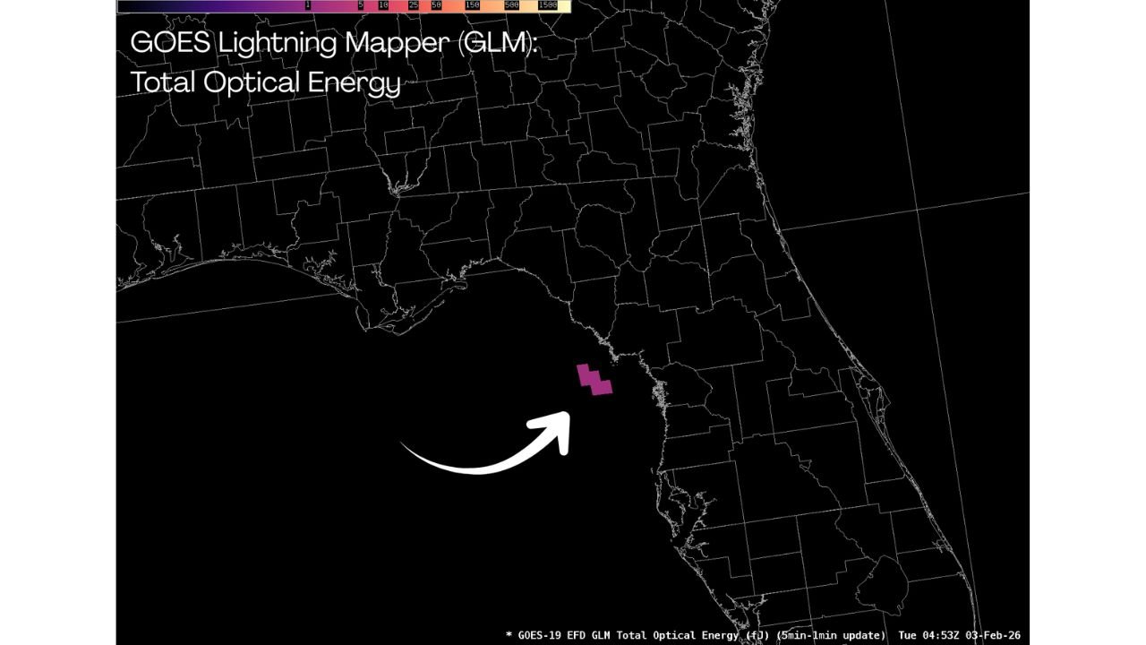
Snow reports extending into South Florida, including areas near Naples, make this event particularly notable.
NOAA data indicates that this is likely the farthest south snow has been observed since December 1989, when a historic cold outbreak produced snow in parts of Florida not accustomed to winter weather.
While accumulations in South Florida were minimal and short-lived, the mere presence of snowflakes is considered extraordinary given the region’s subtropical climate.
Arctic Air Mass Responsible for Unusual Coverage
Forecasters attribute the widespread nature of the snow to a powerful Arctic air mass that plunged southward, overwhelming typical temperature gradients and allowing snow to occur across a massive geographic area.
The cold air interacted with available moisture along the East Coast and Southeast, creating conditions favorable for snow even in locations that normally see rain during winter systems.
This setup explains how snow could be reported simultaneously near the Canadian border and near the Gulf Coast.
A Snow Event Likely to Be Remembered
Meteorologists note that events producing snow reports from the Upper Midwest to South Florida are extremely rare and tend to become historical reference points in long-term climate records.
While impacts varied by location, the breadth of snowfall coverage alone places this event among the most unusual winter weather patterns observed in recent decades.
Residents across multiple regions experienced a reminder of just how far south winter conditions can reach when the atmosphere aligns in just the right way.
What do you think — was this the most widespread snow event you’ve ever experienced? Share your local snowfall reports and follow ongoing weather coverage at WaldronNews.com.