
Pennsylvania, New Jersey, and New York Winter Storm Watch Expanded as Plowable Snow Targets Friday Evening Commute
UNITED STATES — Snow potential is rapidly increasing across parts of Pennsylvania, New Jersey, and New York, as updated National Weather Service guidance expands Winter Storm Watches ahead of a developing system expected to impact the region from Friday afternoon through early Saturday. Forecasters now have growing confidence in a plowable snow event, with the most disruptive conditions likely coinciding with the Friday evening commute.
Storm Setup And Why Confidence Is Increasing
Latest model guidance shows a strengthening winter system tracking through the Mid-Atlantic and Northeast, supported by improving cold air availability and enhanced lift. As a result, snowfall coverage has expanded north and west, prompting the National Weather Service to broaden Winter Storm Watches across interior and metro-adjacent areas.
Forecast confidence has increased enough to support measurable and impactful snowfall, particularly away from the immediate coast where warm air intrusion will be more limited.
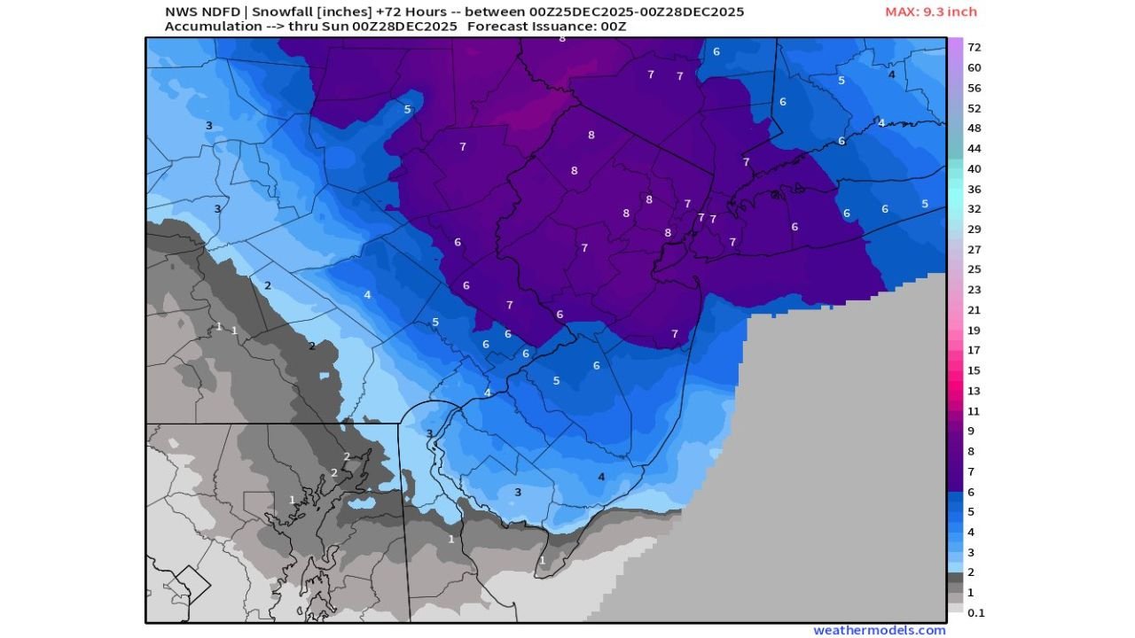
Expected Snow Totals By Region
According to official NWS snowfall forecasts and high-resolution guidance:
- New York City Metro and Northern New Jersey:
5–8 inches of snow are forecast, with localized totals up to 10 inches possible in areas that remain fully snow throughout the event. - Philadelphia Metro and Central New Jersey (south of I-195):
4–6 inches of snow are expected before a likely transition to sleet and freezing rain overnight, which could limit totals but increase travel hazards. - Coastal Areas of New Jersey and Long Island:
1–3 inches of snow are expected before a changeover to rain, reducing accumulation but still creating slippery early conditions.
The sharp snowfall gradient visible on forecast maps highlights how small shifts in storm track or temperature profiles could significantly alter totals over short distances.
Timing And Peak Impacts
- Snow Onset: Between 2 PM and 5 PM Friday
- Heaviest Snowfall: Friday evening through late night, with rates up to 1 inch per hour
- Tapering Off: Early Saturday morning
The overlap with the Friday evening commute raises concern for rapidly deteriorating road conditions, especially in urban and suburban corridors.
Primary Travel Concerns
- Rapid snow accumulation during peak traffic hours
- Reduced visibility during heavier snow bands
- Sleet and freezing rain creating icy road surfaces overnight
- Plow operations struggling to keep pace during peak snowfall rates
Even areas that eventually mix or change to rain may experience dangerous travel conditions before the transition occurs.
What Residents Should Do Now
- Monitor updated forecasts and potential warning upgrades
- Avoid unnecessary travel Friday evening if possible
- Prepare for slower commutes and potential delays
- Ensure winter safety kits are stocked in vehicles
Forecast adjustments are still possible, but current data supports a high-confidence winter weather impact scenario across multiple states.
Stay with WaldronNews.com for continued updates, forecast refinements, and any Winter Storm Warning issuances as this system approaches.