
Arctic Cold Pattern Targets Illinois, Michigan, Wisconsin, Ohio, Pennsylvania, and New York With Prolonged Mid-to-Late January Freeze
ILLINOIS — Long-range forecast data from the European weather model is increasingly signaling that a prolonged Arctic cold pattern will settle across the Midwest, Great Lakes, Ohio Valley, and Northeast during mid to late January, bringing an extended stretch of below-normal temperatures to several highly populated states.
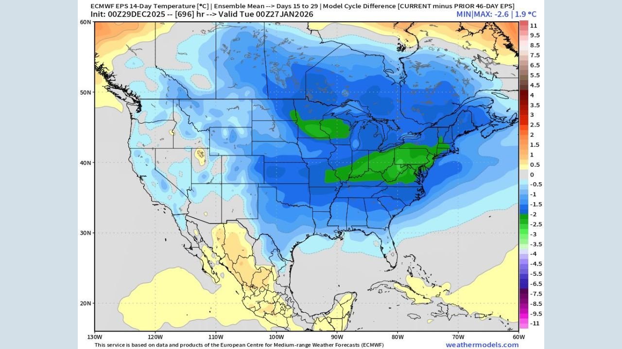
The latest ECMWF Ensemble Prediction System (EPS) guidance, focusing on the Day 15 to Day 29 window, shows a strong and consistent trend toward colder conditions across Illinois, Michigan, Wisconsin, Ohio, Pennsylvania, and New York. The signal suggests this will not be a brief cold snap, but rather a sustained winter regime capable of driving renewed cold risks well into the second half of January.
ECMWF Ensemble Data Shows Strong Shift Toward Colder Temperatures
The updated ensemble mean temperature maps show a clear downward trend compared to prior model cycles. Much of the central and eastern United States is now forecast to run below seasonal averages, with the strongest cold anomalies centered across the Great Lakes and Upper Midwest.
Blue shading across the region indicates temperatures running 1 to 4 degrees Celsius below normal, while pockets of deeper cold appear over parts of Michigan, Wisconsin, northern Illinois, and upstate New York. This type of consistency across multiple ensemble members increases confidence that colder air will dominate the pattern rather than fluctuate.
Mid-to-Late January Cold Looks Persistent, Not Brief
The 2-meter temperature anomaly data reinforces the idea that this will be a long-lasting cold pattern. Instead of short-lived Arctic intrusions followed by quick warmups, the model favors repeated cold air delivery from Canada into the central and eastern U.S.
States expected to see the most persistent cold include:
- Illinois and Wisconsin, where Arctic air may remain entrenched
- Michigan, especially near the Great Lakes
- Ohio and Pennsylvania, where cold spreads eastward
- New York, particularly inland and northern areas
Some locations may experience temperatures 4 to 7 degrees Celsius below normal during this period, a notable signal for late January.
Classic Winter Pattern Taking Shape Across the U.S.
Forecast commentary included with the model data notes that this colder January outlook has been signaled since late summer, adding confidence that the current guidance is not an outlier. The evolving setup resembles a classic winter pattern, often associated with a displaced jet stream that allows Arctic air to surge southward repeatedly.
While snowfall totals and storm tracks cannot yet be determined at this range, the temperature pattern alone supports an increased risk of winter weather events, especially when moisture systems move through the colder air mass.
What This Means for Residents and Travel
If the pattern verifies, impacts could include:
- Higher heating demand across the Midwest and Northeast
- Prolonged cold spells, not just isolated cold days
- Greater potential for snow and ice events
- Travel disruptions, especially during active weather periods
Forecasters stress that details will become clearer as the pattern moves into shorter-range models, but confidence is growing that winter will reassert itself strongly across these states later this month.
As mid-January approaches, residents are encouraged to stay informed, prepare for colder conditions, and monitor updates as confidence continues to increase.
Stay with WaldronNews.com for continued coverage and updates as this developing Arctic pattern becomes clearer in the days ahead.