
Connecticut and New England Face Risk of Sudden Snow Squalls Sunday Evening as Cold Front Moves Through
CONNECTICUT — Showers across the region are expected to gradually taper off by Sunday morning, setting up what forecasters describe as a briefly pleasant Sunday afternoon across much of Connecticut and southern New England. Breaks of sunshine are expected, with high temperatures reaching the low 40s, close to seasonal norms.
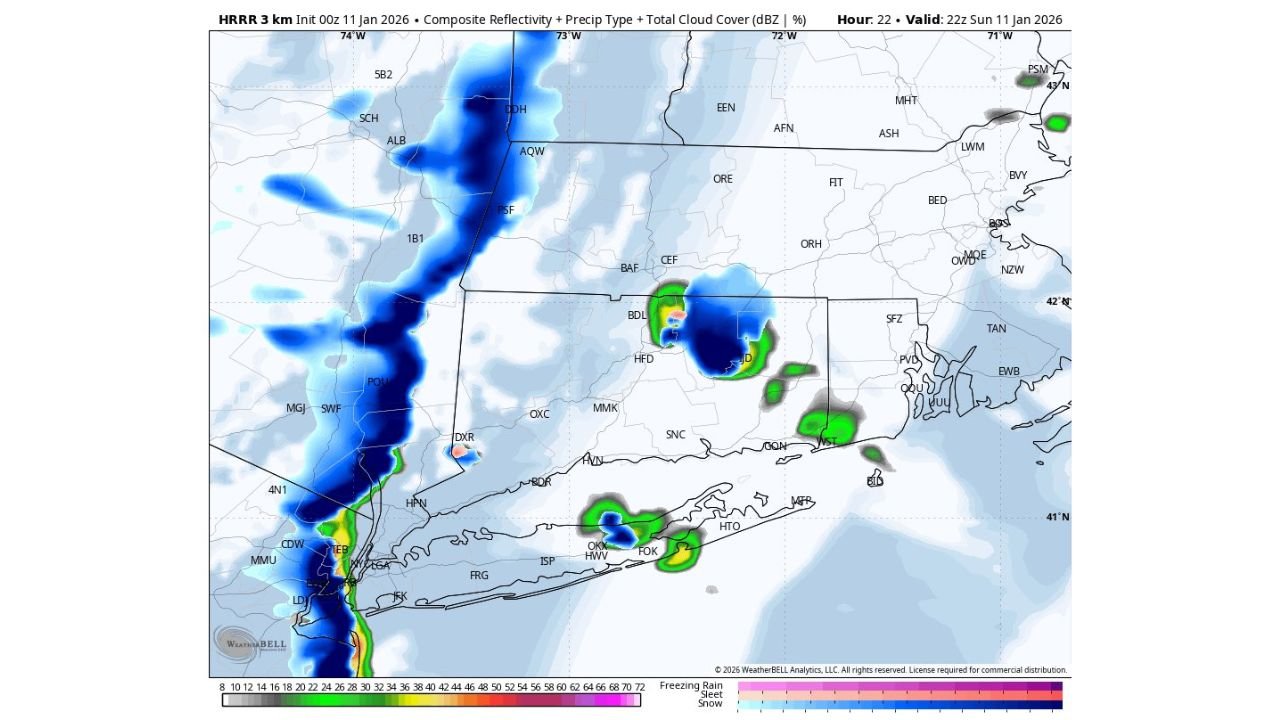
However, weather conditions are forecast to change quickly Sunday evening as a strong cold front pushes east across the region, bringing the potential for snow squalls, particularly in western Connecticut.
Cold Front Could Trigger Snow Squalls Late Sunday
Forecast guidance, including high-resolution HRRR model data, shows the cold front arriving between roughly 5 PM and 6 PM in western Connecticut, then progressing eastward during the early evening hours.
Snow squalls are short-lived but intense bursts of snow that can:
- Rapidly reduce visibility
- Create sudden slick spots on roads
- Produce brief heavy snowfall despite mild daytime temperatures
In some cases, squalls can begin as rain or a rain-snow mix before quickly transitioning to snow as colder air rushes in behind the front.
Travel Impacts Possible During Evening Hours
Because the timing coincides with early evening travel, forecasters are emphasizing awareness rather than alarm. Even brief snow squalls can lead to dangerous driving conditions, especially on highways where visibility can drop to near zero in seconds.
Wind gusts will increase as the front passes, helping to enhance squall development and rapidly changing conditions.
What Residents Should Know
- Sunday daytime: Mostly dry with breaks of sun, highs in the low 40s
- Sunday evening: Cold front arrival with a risk of snow squalls, especially western Connecticut
- Primary concern: Sudden visibility drops and quick road icing, not long-duration snowfall
Forecasters stress that snow squalls are highly localized, meaning not every town will see them, but those that do could experience brief hazardous conditions.
Residents are advised to stay alert for updated statements and short-fused advisories as the cold front approaches Sunday evening.
Stay with Waldron News for continued updates as forecasters refine the timing and coverage of this late-day winter weather threat.