
Late-January Winter Pattern Signals Snow, Ice, and Arctic Cold From the Plains to the Great Lakes and Southeast
UNITED STATES — A volatile late-January weather pattern is coming into sharper focus across large portions of the country, with multiple forecast models highlighting a combination of Arctic cold, accumulating snow, and a growing freezing-rain threat stretching from the central Plains through the Midwest, Great Lakes, and parts of the South and Southeast. While details will continue to evolve, the overall setup supports disruptive winter weather impacts over the next several days.
Strong Arctic High Reshapes the Jet Stream
A powerful Arctic high-pressure system is expected to lock in across the northern Great Lakes and southern Canada. This feature is critical because it forces the jet stream south, preventing storms from lifting north and instead steering winter systems across the central and southern United States.
As a result, northern areas under the high — including parts of the Upper Midwest and Great Lakes — will remain extremely cold and mostly dry, while active winter weather shifts south and east into the Plains, Ohio Valley, Tennessee Valley, and Mid-Atlantic.
Dangerous Cold and Wind Chills
Model guidance consistently shows bitterly cold air entrenched across much of the Midwest and Ohio Valley, with overnight wind chills dropping well below zero, and in some locations as low as -20° to -40°F. The coldest conditions are expected overnight and during early morning hours, especially early next week.
This Arctic air will also play a key role in precipitation type, increasing the risk of freezing rain and sleet where warmer air rides over shallow surface cold.
Snow Corridor Taking Shape
Ensemble guidance points to a defined corridor of accumulating snow extending from parts of the southern Plains into the Mid-South and Ohio Valley. Probabilistic maps show a meaningful chance for at least 1 inch of snow, with localized areas also showing moderate probabilities for 3 inches or more, especially from northern Arkansas into portions of Tennessee, Kentucky, and nearby states.
Farther north, lake-effect processes could significantly enhance snowfall totals in parts of the Great Lakes region, with some locations west of major lake corridors potentially seeing near-foot-plus totals by early next week.
Freezing Rain Could Be the Biggest Threat
While snow will be impactful, freezing rain may become the most dangerous element of this pattern. Recent ensemble runs indicate ice accumulations approaching or exceeding 0.25 to 0.50 inches in parts of the South and lower Ohio Valley — amounts that can lead to power outages, downed trees, and hazardous travel.
However, forecasters caution that low-level temperature profiles remain marginal. A slight shift could mean the difference between ice, sleet, snow, or cold rain, making confidence in exact impacts limited at this range.
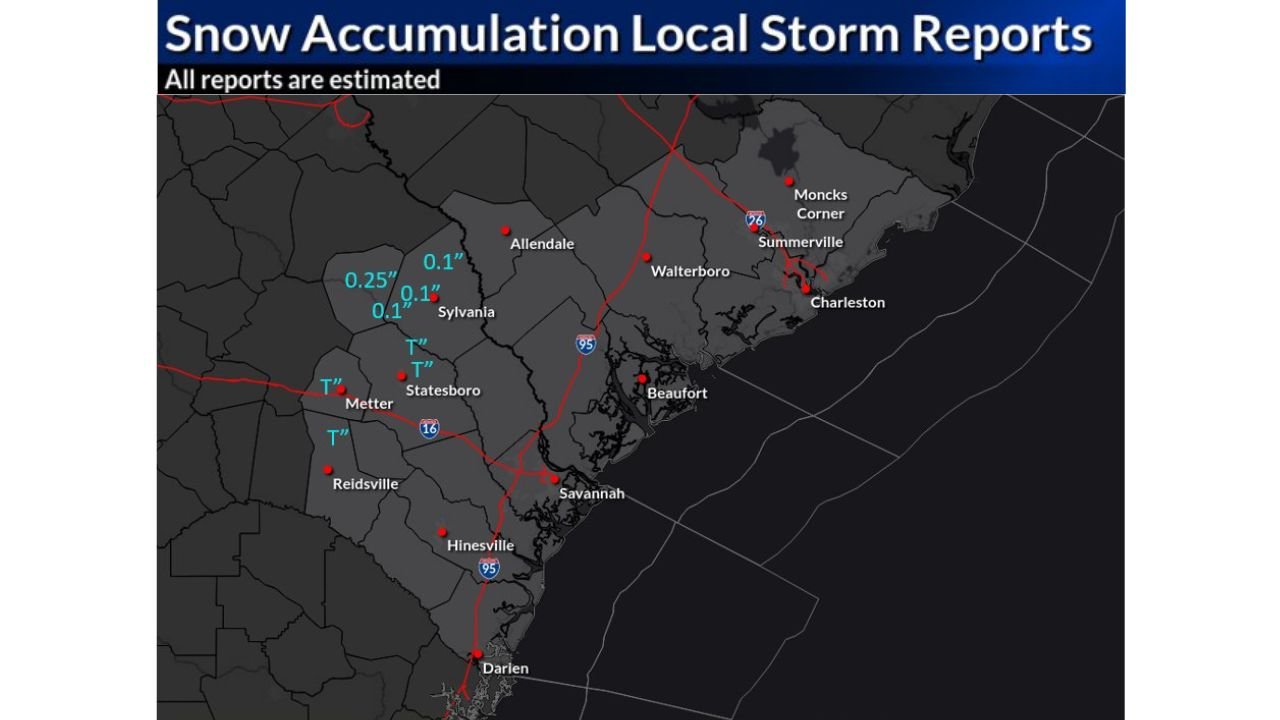
Southeast: Light Snow Now, Bigger Questions Ahead
Across parts of the Southeast, early light snow accumulations have already been reported in localized areas, mainly on grassy and elevated surfaces. While those early events were minor, attention is now turning to the potential for a more impactful winter system later in the period, particularly across northern portions of Alabama, Georgia, and surrounding states.
Whether this becomes a high-impact ice storm or a cold rain event will depend on subtle temperature changes in the lowest levels of the atmosphere.
Forecast Confidence and Timing
It is still too early for precise snowfall or ice totals, but confidence is increasing in:
- A prolonged period of Arctic cold
- A southern-shifted storm track
- A meaningful winter weather threat for multiple regions
Forecast clarity is expected to improve mid-week, with more specific impacts becoming clearer by Thursday as the system moves closer into reliable range.
What to Watch Closely
- Rapid changes in forecast precipitation type
- Power outage potential in ice-prone regions
- School closures and travel disruptions in snow belts
- Dangerous cold exposure risks during overnight hours
Residents across affected regions should monitor updates closely, prepare for hazardous travel conditions, and plan for extreme cold safety as this late-January winter pattern continues to evolve.
Stay connected with Waldron News for ongoing updates, refined forecasts, and localized impact details as this developing winter setup moves closer.