
Georgia, Tennessee, North Carolina and South Carolina Bracing for Major Winter Storm as Snow, Ice and Dangerous Cold Spread East This Weekend
GEORGIA — A sprawling and potentially historic winter storm is coming into sharper focus for this weekend, with snow and ice expected to stretch nearly 2,000 miles from the Southwest through the Southeast and into the East Coast, placing an estimated 160 million people under some form of wintry precipitation at the same time.
Forecast data shows this system developing into a high-impact, multi-hazard winter event, combining heavy snow in the higher terrain with significant ice accumulation across the Deep South and portions of the Carolinas, all while dangerously cold air settles over the region.
Snow vs. Ice: Clear Regional Differences Emerging
While exact storm placement will continue to evolve, the overall structure of the system is becoming clearer.
- Heavy snow potential (6 inches or more) is increasingly focused on:
- The mountains of North Georgia
- Much of Tennessee
- Western and central North Carolina
- Parts of Virginia
- Significant ice risk is shaping up across:
- Metro Atlanta and central Georgia
- Large portions of South Carolina
- Parts of Alabama and Mississippi
- Southern and eastern North Carolina, including coastal areas
Forecasters stress that this will not be a simple snowstorm. Ice may end up being the most dangerous aspect, particularly south of the snow line.
Why Ice Is the Biggest Threat
Ice accumulation is especially concerning because:
- Very cold surface temperatures will allow freezing rain to stick immediately
- Even light ice can snap tree limbs and power lines
- Widespread outages could occur during some of the coldest temperatures the region has seen in decades
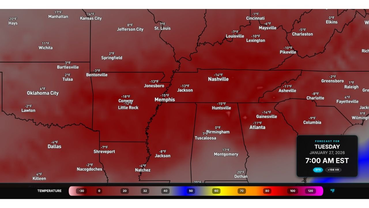
Some temperature projections suggest overnight lows challenging records set in 1985 and even the 1960s across parts of the Mid-South and Southeast.
That combination — ice plus extreme cold — dramatically increases the risk to infrastructure and public safety.
Timeline: What to Expect
- Saturday: Precipitation begins spreading east
- Saturday night into Sunday: Peak impacts expected
- Sunday morning: Snow and ice likely ongoing across much of the Southeast and East Coast
Cities across multiple states could experience different precipitation types at the same time, including:
- Snow in Texas Panhandle, Oklahoma, Kansas, Missouri, Tennessee, North Carolina
- Freezing rain in Texas, Georgia, South Carolina
- Sleet and mixed precipitation in transition zones
Small shifts in the storm track will make a big difference in who sees snow versus ice.
Power Outages and Travel Disruptions a Growing Concern
Forecasters caution that whoever ends up under the heaviest ice bands could face:
- Prolonged power outages
- Impassable roads
- Dangerous travel conditions lasting days
- Increased risk for those without reliable heat
This is shaping up to be a high-confidence impact event, even though fine-scale details are still being refined.
What Residents Should Do Now
With several days still to go, now is the time to:
- Prepare for possible power outages
- Avoid unnecessary travel plans this weekend
- Monitor forecasts closely for changes in snow and ice placement
- Ensure cold-weather safety plans are in place
This is a developing situation. Stay with Waldron News for continuous updates, refined snowfall and ice forecasts, and impact-focused coverage as this major winter storm approaches. What are you seeing in your area — snow or ice? Let us know and stay prepared.