
Washington, D.C., Maryland, and Virginia Face Rising Risk of Major Snowstorm as European Model Signals 12-Inch Potential
WASHINGTON, D.C. — A potentially high-impact winter storm is beginning to draw serious attention across Washington, D.C., Maryland, and Virginia, as new European ensemble guidance shows a meaningful probability of heavy snowfall, including a risk for 12 inches or more in parts of the Mid-Atlantic later this weekend into early next week.
Forecast confidence is not yet locked in, but meteorologists are closely watching the setup because multiple high-end signals are aligning — something that does not happen often this far out.
European Model Shows Elevated Odds for Heavy Snow
The latest data comes from the European Ensemble Prediction System, which runs the storm scenario 50 different times to assess probabilities rather than a single outcome.
According to the probability maps:
- Washington, D.C. currently shows roughly a 30–40% chance of receiving at least 12 inches of snow
- Areas just south of D.C. show even higher probabilities, locally pushing toward the 40–50% range
- Much of central and southern Maryland and northern Virginia fall within the zone of elevated snowfall risk
These percentages are not a forecast total, but they do signal that a major winter storm outcome is plausible, not just a fringe scenario.
Why Forecasters Are Taking This Setup Seriously
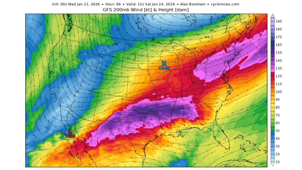
While it remains early, the atmospheric pattern responsible for this threat is textbook for large East Coast winter storms.
Current model guidance shows:
- A strong jet stream arcing across the southern United States, capable of pulling in deep Pacific moisture
- A powerful Arctic high-pressure system anchored to the north, supplying cold air into the Mid-Atlantic
- A developing storm track that allows warm, moist air to override cold surface air, a classic setup for heavy snow
This combination increases the odds of long-duration precipitation, which is often what separates minor events from high-impact winter storms.
Snow vs. Ice Still Unresolved
One of the biggest uncertainties at this stage is exactly where snow changes to ice or mixed precipitation.
Small shifts in storm track or temperature profiles could mean:
- Heavy snow for parts of northern and western Maryland and northern Virginia
- A wintry mix or sleet closer to the rain-snow transition zone
- Lower totals in areas that see more mixing
This uncertainty is normal several days out, especially for Mid-Atlantic winter storms where boundaries are often sharp and sensitive.
Timing Window to Watch Closely
Based on current guidance, the highest impact window appears to be:
- Late Saturday night
- Through Sunday
- Potentially lingering into early Monday morning
This timing could have major travel implications, especially if higher-end snow totals materialize near population centers.
Important Reminder About Forecast Confidence
Despite the strong signals, this is still a probabilistic outlook, not a locked forecast.
Meteorologists stress that:
- Probabilities will change as the storm track becomes clearer
- Northern extent and precipitation type remain key uncertainties
- Confidence will increase significantly within the 48–72 hour window
Still, the presence of double-digit snowfall probabilities this far out is why this system is being monitored so closely.
Bottom Line
A memorable winter storm is on the table for Washington, D.C., Maryland, and Virginia, but patience is critical. The setup supports a high-impact outcome, yet small atmospheric changes could still dramatically alter who sees snow — and how much.
Residents across the Mid-Atlantic should stay alert, avoid locking into exact totals, and be prepared for forecast adjustments as new data arrives.
For continued updates, probability changes, and impact analysis, keep following Waldron News as this winter storm threat evolves.