
Midwest and Great Lakes Weather Alert Chicago, Detroit, Indianapolis and Cleveland Enter Extended Rain and Snow Pattern Starting Mid-April
UNITED STATES — A major shift in weather conditions is now expected across the Midwest and Great Lakes region, including Chicago, Detroit, Indianapolis, Cleveland, and surrounding areas, as a dry and mild pattern gives way to a cooler, unsettled stretch beginning Wednesday and continuing through mid-April.
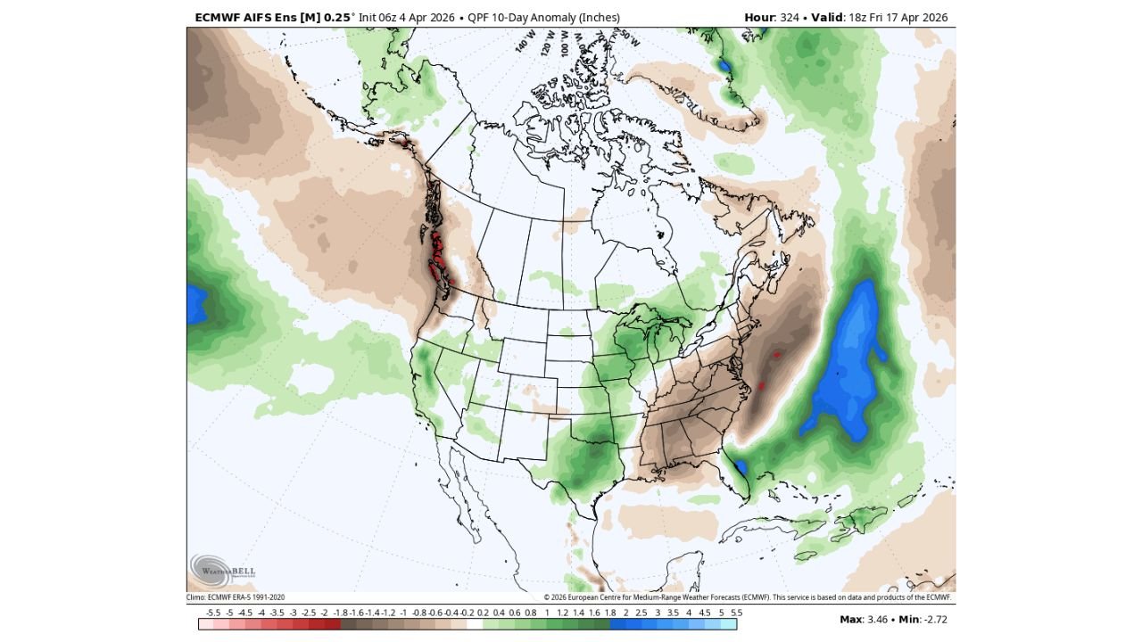
Forecast guidance shows that multiple rounds of rain and even snow showers will become more frequent than dry days, marking a significant transition into a more active spring pattern.
Dry Conditions Fade as Pattern Shift Begins Midweek
Through Tuesday, conditions are expected to remain:
- Mild and relatively dry
- Stable with limited precipitation
However, by Wednesday, a clear transition begins:
- Cooler air starts pushing into the region
- Cloud cover increases
- Rain and snow chances begin to develop
This marks the beginning of a prolonged unsettled period rather than a single storm event.
Rain and Snow Showers to Become Frequent Across Key Cities
Cities expected to be impacted include:
- Chicago (Illinois)
- Detroit (Michigan)
- Indianapolis (Indiana)
- Cleveland (Ohio)
Across these areas:
- Rain showers will be common, especially during daytime heating cycles
- Snow showers may mix in, particularly during colder periods or overnight hours
- Conditions may fluctuate rapidly between wet and cool
This setup suggests off-and-on precipitation rather than continuous rainfall, but with frequent interruptions to dry weather.
Widespread Unsettled Pattern Expands Across the Region
Model data indicates:
- A broad zone of above-normal precipitation potential stretching from the Plains into the Midwest and Great Lakes
- Repeated disturbances moving through the region
- Persistent cloud cover and below-average temperatures at times
This means the region could see several consecutive days with some form of precipitation activity.
Timing and Intensity Still Developing
While confidence is high in the overall pattern change:
- Exact timing of each rain or snow event remains uncertain
- Precipitation amounts will vary depending on individual systems
- Some periods may bring heavier bursts, while others remain light
More precise details will become clearer as each system approaches.
What This Means for Residents
Residents across Illinois, Michigan, Indiana, and Ohio should prepare for:
- A cooler and more variable weather pattern
- Frequent chances of rain gear being needed throughout the week
- Possible brief snow showers, especially in northern areas
Travel and outdoor plans may need adjustment due to the stop-and-start nature of precipitation.
Final Outlook
The Midwest and Great Lakes are heading into a notable pattern change, shifting from quiet spring weather to a more active and unsettled stretch through mid-April, with rain and occasional snow showers becoming a regular feature.
Stay with WaldronNews.com for ongoing updates as this evolving pattern brings multiple waves of precipitation and cooler conditions across the region.