
California Faces Prolonged Pacific Storm Pattern as Southern California Rainfall Surges Far Above Normal Into Late January
CALIFORNIA — New forecast data and rainfall observations confirm that California remains locked in a wet Pacific-driven storm pattern, with Southern California experiencing exceptionally high rainfall totals and no meaningful break in precipitation expected through mid to late January.
Long-range ensemble guidance indicates only a brief and weak drying window before another significant surge of Pacific moisture arrives around January 18, followed by the potential for stronger, more organized storm systems later in the month.
Rainfall Totals Already Far Exceed Seasonal Averages Across Southern California
Observed rainfall data through January 4, 2026, shows staggering precipitation totals across Southern California, even before the heart of the wet season typically peaks.
Key rainfall highlights include:
- Santa Barbara, CA: 20.39 inches
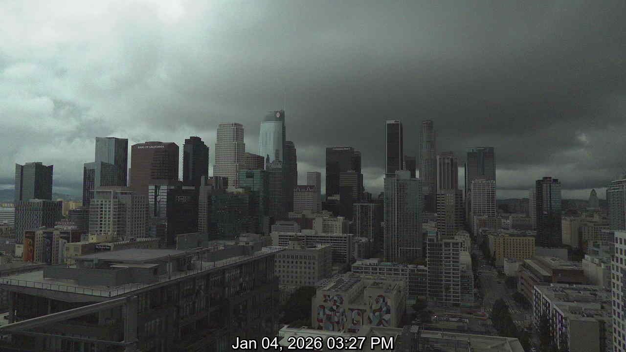
- Downtown Los Angeles, CA: 13.88 inches
- Burbank, CA: 15.65 inches
- Orange County, CA: 12.27 inches
- San Diego, CA: 7.63 inches — 221% above normal
These totals place many locations well above 200–400% of normal rainfall for this point in the season, signaling a highly anomalous start to winter.
Pacific Storm Conveyor Remains Active Into Late January
Forecast discussion tied to ensemble solutions highlights a re-energizing Pacific storm conveyor, linked to warming ocean temperatures and favorable teleconnections across the central and western Pacific.
Model guidance suggests:
- A temporary lull lasting less than two weeks
- Renewed heavy rainfall potential beginning around January 18
- A much wetter window from January 23 through early February
This pattern aligns with increased moisture transport from the central Pacific and Marshall Islands region, allowing repeated storm systems to reach the West Coast.
Warm Storm Profile Limiting Mountain Snowfall
Despite the extreme rainfall, snowfall totals in California’s local mountains remain limited. The storms are drawing from warmer Pacific air masses, keeping snow levels elevated and reducing cold-air availability.
As a result:
- Lower and mid-elevation areas continue to see rain
- Snowfall remains confined to higher elevations
- Flooding concerns outweigh winter weather impacts for many regions
Flood Risk Remains Elevated, Especially in Urban and Burn Scar Areas
Recent flash flood advisories, including impacts on Oahu earlier this week, underscore how powerful and moisture-rich this Pacific pattern has become. In California, saturated soils increase the risk of:
- Urban flooding
- Mudslides and debris flows
- Rapid runoff during heavier downpours
Emergency planners and residents are urged to remain weather-aware, especially as stronger storms approach later in January.
Looking Ahead
While confidence in exact storm timing remains moderate, the signal for continued wet weather across California is strong, with Southern California likely to remain the most impacted region.
Forecasters will be closely monitoring whether late-January storms intensify further as Pacific teleconnections continue to evolve.
Stay informed, monitor local alerts, and share how conditions are affecting your area by following ongoing weather coverage at WaldronNews.com.