
Maryland Faces Black Ice Monday Morning, Midweek Warm-Up, Then Heavy Rain and Returning Cold by Friday
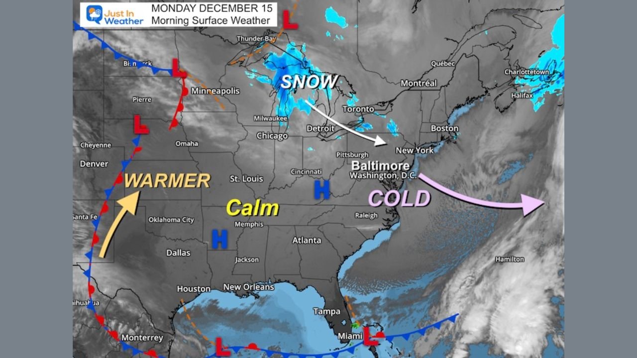
UNITED STATES — Maryland begins the week under cold and potentially hazardous conditions, with black ice concerns Monday morning, followed by a noticeable warm-up midweek and then a significant weather shift late Thursday into Friday that could bring heavy rain, possible thunderstorms, and another push of cold air. The data shows Maryland—especially central areas around Baltimore—among the most impacted locations due to rapid temperature swings and timing of precipitation.
Black Ice a Major Concern Early Monday
Cold overnight temperatures combined with lingering moisture have created a high risk of black ice across roads, bridges, and sidewalks early Monday morning.
Key concerns include:
- Slick, hard-to-see icy patches
- Increased risk on untreated roads and elevated surfaces
- Dangerous conditions during the morning commute
School systems across the region have already reported numerous delays, reflecting the hazardous start to the day.
Cold Start to the Day With Winds Gradually Easing
Early morning temperatures across much of the state were in the teens, with some locations struggling to climb out of the lower range before sunrise.
Conditions this morning include:
- Bitter cold air lingering from the weekend system
- Winds slowly easing, reducing wind chill impacts
- Possibility of a late flurry, though no significant accumulation is expected
Despite calmer winds, the cold air mass remains firmly in place to start the week.
Midweek Brings a Temporary Warm-Up
Forecast guidance shows temperatures moderating Tuesday and Wednesday, as warmer air pushes northward.
This midweek change will:
- Bring milder daytime temperatures
- Reduce icy conditions temporarily
- Create a calmer weather window
However, this warm-up is not expected to last, and it sets the stage for the next, more impactful system.
Late-Week System Brings Rain and a Sharp Weather Clash
The most dynamic part of the forecast arrives late Thursday into Friday, when a strong storm system approaches from the west.
Model data highlights:
- Rain developing late Thursday
- Heaviest rainfall likely Friday morning
- A pronounced clash between cold air to the north and warm, moist air to the south
This clash zone raises the possibility of:
- Heavy rain
- Isolated thunderstorms
- Rapid changes in temperature
As the jet stream shifts, colder air is expected to surge back in behind the system, potentially ending the week on a colder note again.
Travel Impacts Likely at Multiple Points This Week
Maryland residents should be prepared for changing travel conditions throughout the week.
Potential impacts include:
- Icy roads Monday morning
- Wet, ponded roadways during heavy rain Friday
- Reduced visibility and slick conditions during temperature transitions
Timing will be critical, especially for commuters heading out early Monday or Friday.
What Residents Should Watch Closely
With multiple weather hazards possible, forecasters advise staying alert for updates.
Important reminders:
- Use caution during the Monday morning commute
- Allow extra travel time during late-week rain
- Monitor forecasts for updates on rainfall intensity and timing
This week’s pattern is a reminder that December weather can change quickly, bringing multiple hazards within just a few days.
WaldronNews.com will continue monitoring Maryland’s evolving weather pattern throughout the week.
If you’re experiencing icy roads, school delays, or heavy rain impacts in your area, share your local conditions with WaldronNews.com to help keep others informed.