
Colorado Weather Alert Update Denver, Boulder and Mountain Areas to See Rain Showers and Snow Surge Thursday Through Saturday
COLORADO — A more active weather pattern is now setting up across the state, with Denver, Boulder, Fort Collins, and surrounding mountain regions expected to see a noticeable shift beginning Thursday and continuing into the weekend.
Forecast data indicates a cold front arrival Thursday, followed by increasing rain chances across the Front Range and snowfall in higher elevations from Friday into Saturday, signaling a return to much-needed moisture for parts of the state.
Cold Front Arrives Thursday Changing Conditions Across Colorado
After a relatively calm stretch, conditions are expected to shift quickly:
- A cold front moves through Thursday
- Temperatures begin to drop behind the front
- Winds may increase briefly as the system passes
This front will act as the trigger for widespread precipitation development heading into Friday and Saturday.
Rain Showers Expected Across Denver and Eastern Plains
Lower elevation areas including:
- Denver
- Aurora
- Colorado Springs
- Fort Collins
are likely to experience:
- Periods of rain showers Friday into Saturday
- Increasing cloud cover and cooler daytime temperatures
- Intermittent bursts of moderate rainfall
Forecast ensemble data suggests multiple rounds of light to moderate precipitation, rather than a single heavy event.
Mountain Snow Likely in Higher Elevations
As colder air filters in behind the front:
- Rocky Mountain regions will transition to snow
- Snowfall could become steady at times in:
- Summit County
- Aspen areas
- Vail and surrounding passes
This setup favors late-season mountain snow accumulation, which could impact travel at higher elevations.
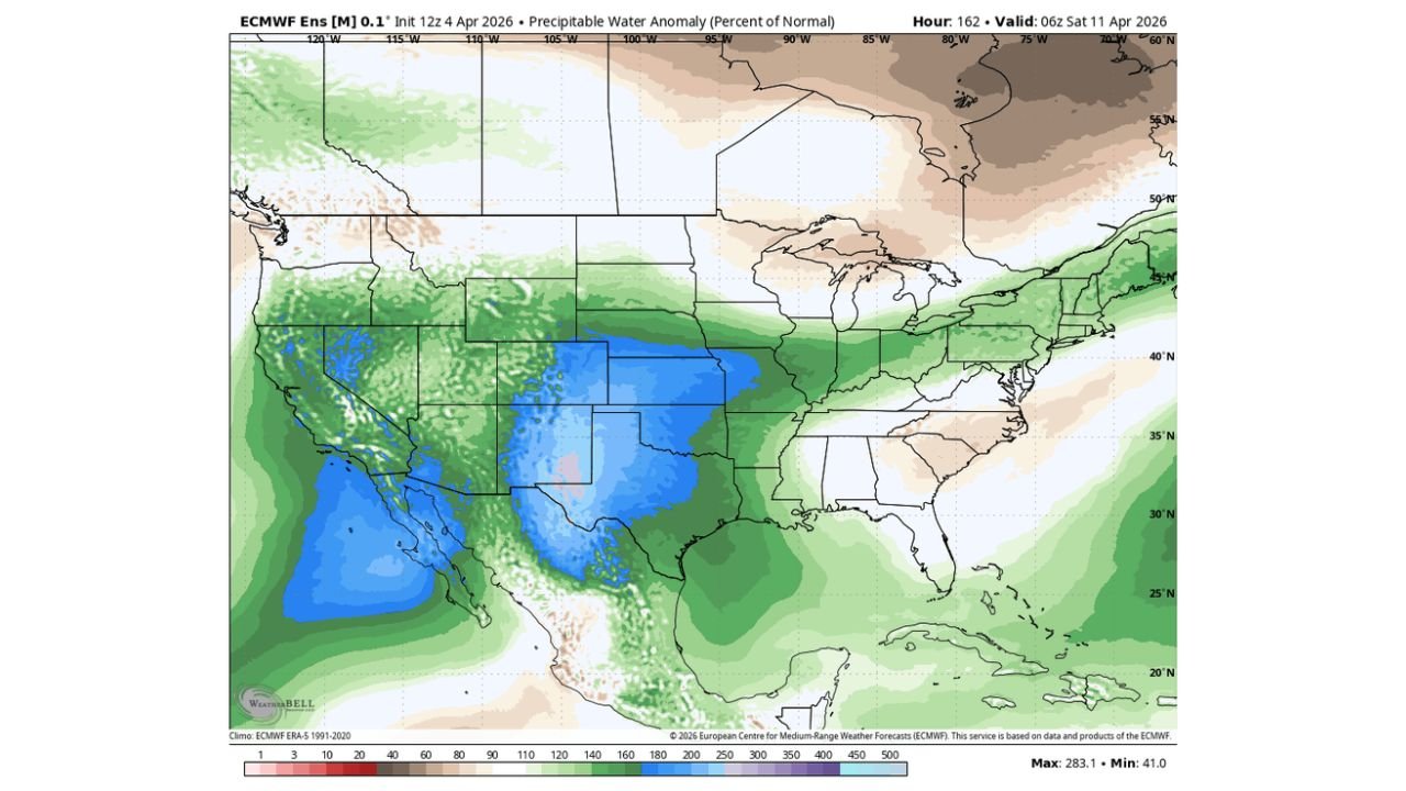
Moisture Signal Looks Promising for Drought Relief
Longer-range model guidance highlights:
- Above-normal moisture spreading across Colorado and the central U.S.
- A broad area of enhanced precipitation potential centered over the Rockies and Plains
This pattern suggests:
- Continued active weather into early next week
- A gradual improvement in dry conditions, especially where snowpack and rainfall combine
Active Pattern May Continue Beyond the Weekend
Forecast trends indicate this is not a one-off system:
- Activity may linger into next week
- Additional disturbances could bring more rounds of rain and snow
- Confidence is growing in a sustained wetter pattern
However, exact timing and intensity of each wave remain somewhat uncertain.
What This Means for Colorado Residents
Residents across Denver, Boulder, Fort Collins, and mountain communities should prepare for:
- A noticeable cool-down starting Thursday
- Wet roads and reduced visibility during rain periods
- Possible snow-covered passes in higher elevations
While not expected to be a major storm system, the extended duration of precipitation could make this one of the more beneficial moisture events in recent weeks.
Final Outlook
Colorado is entering a more active and moisture-friendly weather pattern, with rain for cities and snow for the mountains from Thursday through Saturday and possibly beyond.
Stay with WaldronNews.com for continuing updates as this evolving system tracks across Colorado and brings much-needed precipitation to the region.