
Mississippi, Alabama and Tennessee Face All-Hazards Severe Weather Threat Wednesday as Strong Tornadoes, Significant Hail and Damaging Wind Target the Deep South
JACKSON, Mississippi — A dangerous and wide-ranging severe weather setup is taking shape across the Mid and Deep South for Wednesday, May 7, with Mississippi, Alabama and Tennessee sitting at the core of a multi-hazard threat that includes strong tornadoes, significant hail and damaging straight-line winds. Atmospheric conditions are aligning to support organized, long-track supercell thunderstorms capable of producing EF2 or stronger tornadoes across a region already historically vulnerable to deadly overnight storm events.
The Explosive Atmospheric Setup Behind Wednesday’s Threat
An exceptionally strong upper-level jet is forecast to carve across the southern United States by Wednesday night, with wind speeds at 500 millibars reaching 80 to over 100 knots across a corridor from Arkansas and Mississippi into Alabama and Georgia. That level of upper-level support is not common for early May and represents one of the more energetic patterns this corridor typically sees during the heart of spring.
At lower levels, the 850 millibar low-level jet explodes through the same region, with the most intense winds concentrated across northern Louisiana, central Mississippi, Alabama and southern Tennessee. This rapidly veering wind profile with height is the key ingredient for supercell thunderstorm development, providing the clockwise-turning shear that gives rotating storms their spin and sustains them over long distances.
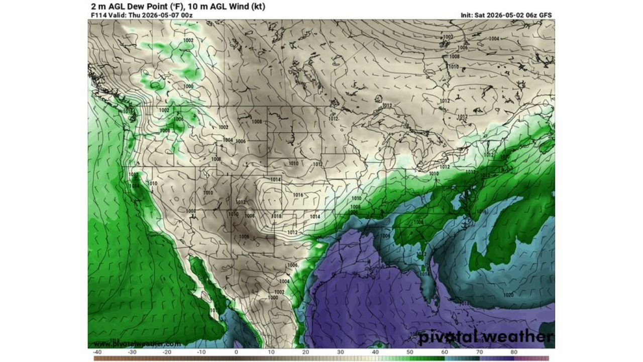
What the Sounding Data Reveals
A model sounding pulled over northern Mississippi reveals a profile that demands serious attention. Surface-based CAPE reaches 2,046 joules per kilogram, representing substantial instability and the raw fuel available for violent thunderstorm updrafts. CAPE, or Convective Available Potential Energy, is essentially the energy that powers storm intensity and updraft strength.
Storm-Relative Helicity of 1,066 square meters per second squared is particularly striking. That value measures the rotational potential in the lowest portion of the atmosphere and sits well above thresholds associated with significant tornado development. The Supercell Composite reaches 9.1 and the Significant Tornado Parameter approaches 9, two composite indices that at those values specifically flag high-end supercell and violent tornado potential. Surface dewpoints approaching 70 degrees Fahrenheit confirm that rich Gulf moisture is surging northward well ahead of the system, providing the humidity that fuels explosive storm development.
Cities and States in the Highest Risk Zone
Mississippi carries the most immediate concern given its position directly under the most intense wind profiles at both upper and lower levels. Jackson, Tupelo, Meridian and Hattiesburg should be monitoring Wednesday’s forecast closely as confidence increases through the early part of the week.
Alabama’s Birmingham, Tuscaloosa, Huntsville and Gadsden fall within the corridor where supercells would be most capable of producing EF2 or stronger tornadoes given the depth of shear throughout the wind profile. Tuscaloosa in particular, given its history with significant tornado events, has every reason to take this setup seriously days in advance.
In Tennessee, the Memphis metropolitan area and communities stretching toward Nashville could encounter the trailing edge of the severe threat, particularly if a squall line develops and sweeps through after initial discrete supercell activity. Louisiana communities including Shreveport, Monroe and areas along the Red River Valley face a threat skewed more toward large hail and damaging wind with the earlier phases of any convective development.
Why the Deep South Faces Unique Danger Wednesday Night
The Mid and Deep South carry an elevated tornado risk compared to the Central Plains partly because of their direct proximity to the Gulf of Mexico, which supplies near-unlimited warm, moist air into any developing storm system. Terrain across Mississippi and Alabama is flat to gently rolling, offering little resistance to storm-scale circulation as supercells track northeast.
Critically, this region sees a disproportionate share of nocturnal tornadoes, events occurring after dark when most residents are asleep and less likely to receive or respond to warnings quickly. Wednesday’s setup, valid through the overnight hours, raises the likelihood that significant convective activity could unfold precisely during those higher-risk nighttime hours when public awareness is lowest.
What to Watch Between Now and Wednesday
- Monitor severe weather outlooks beginning Sunday and Monday, when categorical risk areas for Mississippi and Alabama may first appear. A Slight or Enhanced Risk designation for either state would signal escalating forecaster confidence in the event.
- Pay close attention to whether storm mode stays discrete supercell or transitions to a squall line. Discrete supercells in this environment carry a dramatically elevated tornado threat, while a squall line would shift the primary hazard toward widespread damaging wind across a broader area.
- Surface dewpoints climbing above 65 degrees Fahrenheit across Mississippi and Alabama by Tuesday night would confirm sufficient Gulf moisture to support the high instability values the current data projects.
- Residents in Birmingham, Tuscaloosa, Jackson and Memphis should ensure NOAA Weather Radio and smartphone weather alert applications are active and tested before Wednesday morning, and should identify their nearest shelter location now rather than waiting for a watch.
- Do not wait for a watch or warning to finalize your severe weather plan. In high-end setups like this one, tornado watches can arrive with only hours of notice and warnings with only minutes.
WaldronNews.com will continue tracking this developing Deep South severe weather setup and will provide updated coverage as the risk picture sharpens heading into Wednesday.