
Alabama Faces Possible Early-Morning Severe Weather as Strong Wind Line and Tornado Risk Develop Friday
CENTRAL ALABAMA — Forecasters are closely monitoring a potentially dangerous early-morning weather setup for central Alabama on Friday as a strong line of showers and thunderstorms moves through the region, bringing the risk of damaging wind gusts and a low-end tornado threat.
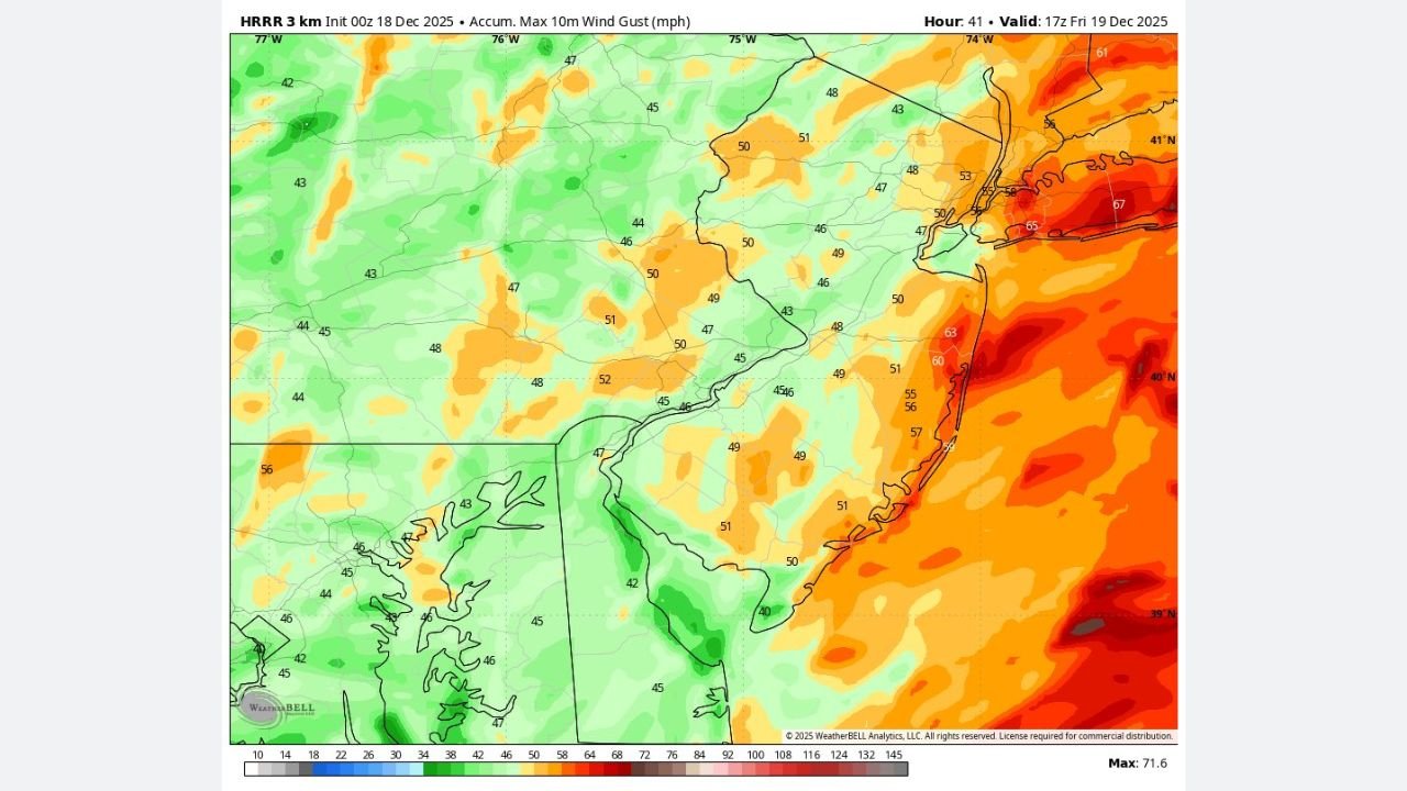
Weather models, including the HRRR, are showing an increasingly aggressive signal for a fast-moving squall line developing overnight and pushing east through Alabama during the pre-dawn and morning hours Friday.
Strong Line of Storms Showing on High-Resolution Models
High-resolution radar simulations indicate a well-organized line of heavy showers and thunderstorms extending across portions of Mississippi and moving into central Alabama early Friday. The strongest storms within this line could produce damaging straight-line winds, especially as colder air surges in behind the front.
Several HRRR panels show intense reflectivity cores aligned with strong low-level wind fields, a setup that can support embedded severe wind gusts even without classic supercell storms.
Sleeper Tornado Risk Cannot Be Ruled Out
While widespread severe weather is not guaranteed, forecasters are paying close attention to central Alabama for what is being described as a “sleeper” tornado threat.
Wind profile data from model soundings show strong wind shear in the lowest levels of the atmosphere, particularly during the early morning hours. In these setups, brief or weak tornadoes can develop quickly within a fast-moving line of storms, sometimes with little advance warning.
Because this would occur overnight or around sunrise, residents are urged to have multiple ways to receive weather alerts.
Damaging Winds Remain the Primary Concern
The main threat with this system remains damaging wind gusts, which could be strong enough to down trees and power lines. Saturated soils from prior rainfall may increase the risk of trees being uprooted, especially during stronger wind surges within the line.
If model trends continue, meteorologists say it would not be surprising to see the Storm Prediction Center consider adding a rare December Marginal Risk for parts of the region.
What Residents Should Do Now
Residents across central Alabama should:
- Monitor local forecasts closely through the night
- Ensure phones and weather radios are charged and alerts are enabled
- Secure loose outdoor items ahead of strong winds
- Be prepared to move to a safe location quickly if warnings are issued
Even low-end severe weather can cause significant impacts when it occurs overnight.
Stay Weather-Aware
Forecast confidence will continue to improve as newer data arrives. Officials stress that conditions can change quickly, and residents should stay alert through Friday morning.
WaldronNews.com will continue to track this developing situation and provide updates as new information becomes available.