
Georgia, Alabama, South Carolina, North Carolina, Virginia, Maryland and Pennsylvania Face Arctic Cold, Dangerous Wind Chills and Targeted Snow Through Late January
UNITED STATES — A prolonged surge of Arctic air is tightening its grip across large portions of the eastern and southern United States, bringing dangerously cold wind chills, pockets of accumulating snow, and increasing travel hazards from the Deep South through the Mid-Atlantic and into parts of the Northeast. New forecast data shows this cold pattern persisting through early next week, with additional signs pointing to another potential reload of cold air toward the end of January and into early February.
Arctic Air Drives Wind Chills Below Zero in the Midwest and Appalachians
Forecast graphics from National Weather Service offices indicate that much of Pennsylvania, eastern Ohio, and northern West Virginia will experience morning wind chills near or below zero through at least Tuesday morning. Breezy northwest winds are expected to peak Monday, making it the coldest day of the stretch despite modest afternoon temperature rebounds.
Several locations across western Pennsylvania are projected to see minimum wind chills ranging from –5°F to –15°F, especially during overnight and early-morning hours. Prolonged exposure could lead to frostbite in under 30 minutes, prompting officials to urge residents to limit outdoor activity and dress in multiple layers.
Southern Snow Event Targets Georgia, Alabama, and the Carolinas
While the Arctic air settles in, a fast-moving system is also triggering a rare southern snow setup. Forecast models show snow developing after midnight and continuing into Sunday morning across central and southern Georgia, with impacts extending into southeast Alabama and parts of South Carolina.
Snow is expected to begin as rain before transitioning to snow near daybreak, especially south of the I-85 corridor. Accumulations of 1 to 3 inches are possible in highlighted areas, with the highest risk for hazardous travel occurring between 6 a.m. and 2 p.m. Roads and bridges may become slick quickly as surface temperatures drop below freezing.
Travel alerts are particularly emphasized along Interstates 16 and 75 south of Macon, where reduced visibility and icy conditions could slow traffic significantly.
Mid-Atlantic Snow Bands Focus on Virginia and Maryland
Farther north, updated “second-call” snowfall maps show increasing confidence in a narrow but impactful snow band stretching from central Virginia into northeast Maryland. Metro areas including Washington, D.C., and Baltimore are now forecast to receive 1 to 2 inches, while northeast Maryland could see localized totals of 2 to 3 inches.
Snow is expected to taper off by mid-afternoon, but untreated roads and sidewalks may remain icy into the evening as temperatures stay below freezing.
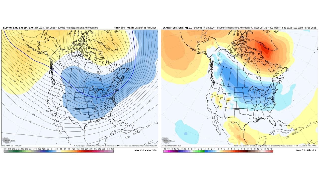
Cold Pattern May Reload Late January into Early February
Long-range ensemble guidance suggests the current cold outbreak may not be the last. Meteorologists note signals for another period of high-latitude blocking tied to negative EPO and NAO patterns, which could allow Arctic air to spill south again near the end of January and the first week of February.
Although February typically trends warmer during La Niña winters, current indicators show weakening La Niña conditions alongside emerging El Niño signals, increasing uncertainty and opening the door for additional cold shots across the central and eastern U.S.
What Residents Should Prepare For
• Morning wind chills near or below zero in parts of the Midwest and Appalachians
• Slick roads and reduced visibility during snow bursts in the Southeast and Mid-Atlantic
• Delays along major interstates, especially I-16, I-75, and I-85
• Continued cold risks for exposed pipes, pets, and vulnerable populations
Residents are encouraged to monitor local forecasts closely, allow extra travel time, and take cold-weather safety precautions seriously.
For continued weather updates, regional breakdowns, and long-range outlooks, stay connected with Waldron News and join the conversation as this evolving winter pattern unfolds.