
Carolinas Braced for Heaviest Snow in Decades as Arctic Air Pushes Extreme Cold Into Florida and Texas
UNITED STATES — A powerful Arctic air mass combined with a rapidly strengthening coastal storm is setting the stage for one of the most unusual and wide-reaching winter weather events the eastern United States has seen in decades, with impacts stretching from the Carolinas and Mid-Atlantic to Central Florida and Deep South Texas.
Forecast models show direct Arctic air transport from the North Pole into the southeastern U.S., with very little modification over water. This setup is expected to produce extreme cold, dangerous wind chills, scattered snow events in uncommon locations, and multiple freeze-related hazards from late Saturday through Sunday morning.
East Coast Snowstorm Could Deliver the Carolinas’ Heaviest Snow in Decades
High-resolution snowfall guidance shows a narrow but intense band of heavy snow developing along the East Coast, with parts of North Carolina, South Carolina, and coastal Mid-Atlantic areas at risk for some of their highest snow totals since 1989.
While snowfall totals are expected to vary significantly due to pockets of dry air aloft, coastal locations are more likely to see higher accumulations. Meteorologists note that with 20:1 snow-to-liquid ratios, even small changes in moisture can result in large differences in snowfall amounts, meaning one community could receive several inches while nearby areas see far less.
Forecast Confidence Hinges on Warm Front Placement
Upper-air model analysis shows that the placement and strength of an elevated warm front ahead of the main trough early Saturday will determine where the heaviest snow bands set up, particularly in cities such as Raleigh.
If the warm front shifts slightly north or strengthens more than expected, snowfall totals could change dramatically in a short distance. This uncertainty explains why forecasts emphasize sharp cutoffs rather than widespread uniform snowfall.
Arctic Air Invades the Southeast, Reaching Florida
Trajectory analysis from NOAA’s HYSPLIT model confirms that the incoming air mass originates directly from the Arctic, traveling southward into Florida with minimal time over warmer surfaces. As a result, the air will remain exceptionally cold and dry, creating conditions rarely observed in the region.
A rapidly strengthening offshore low pressure system will enhance gusty winds and cold air advection, pushing wind chills well below normal across the Southeast late Saturday into Sunday.
First-Ever Extreme Cold Watch Issued for Central Florida
For the first time on record, an Extreme Cold Watch has been issued for portions of Central Florida and the Tampa Bay area east of Interstate 75.
Forecast details include:
- Wind chills as low as 8°F
- Hard freeze conditions with temperatures near or below 20°F
- Greatest risk occurring Saturday night into early Sunday morning
Even coastal and typically milder inland areas are expected to experience dangerous cold, raising concerns for people, pets, plants, and infrastructure.
Snow Showers Possible Near Tampa Bay
Cold winds moving over the comparatively warm Gulf of Mexico may generate ocean-effect snow showers near the Tampa Bay area Saturday night, including parts of Clearwater, St. Petersburg, and nearby coastal communities.
While accumulation is expected to be minimal due to warm ground temperatures, the mere possibility of snowflakes in this region underscores the severity of the Arctic outbreak.
Florida Snow Probabilities Remain Low but Not Zero
Probability maps show low but measurable chances (10–30%) of light snowfall across west-central Florida, including the Tampa–Lakeland corridor. Any snow that does occur is expected to melt quickly, but the cold itself poses a much greater risk than accumulation.
Freeze Watch Issued for Deep South Texas
The cold air surge will also reach Deep South Texas, where a Freeze Watch is in effect from 12 a.m. to 9 a.m. Sunday for inland portions of:
- Kenedy County
- Brooks County
- Jim Hogg County
- Zapata County
- Starr County
- Northern Hidalgo County
Temperatures in these areas are expected to fall to the upper 20s, threatening sensitive crops, pets, and exposed pipes.
Calm Conditions Before the Storm in the Southwest
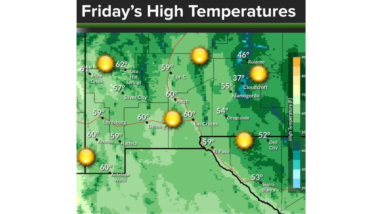
Ahead of the Arctic surge, areas of West Texas and southern New Mexico will experience a pleasant winter day Friday, with highs near seasonal averages, sunny skies, and light northerly winds. However, this calm weather will be short-lived as colder air advances southward over the weekend.
What Residents Should Do
Residents across affected regions are urged to:
- Protect pipes, plants, pets, and livestock
- Prepare for dangerously low wind chills
- Monitor local alerts closely, especially where snowfall totals may change rapidly
- Avoid unnecessary travel in areas where snow bands may develop suddenly
This event combines historic cold, rare snow potential, and sharp forecast variability, making it one of the most complex winter weather setups the eastern U.S. has faced in years.
Stay with WaldronNews for continued updates as the Arctic outbreak and coastal storm evolve.